Worldwide Boundary Data for spatial analysis
Empower your location-based operations, applications and map visualizations with our edge-matched polygons
124 of the Fortune 500 rely on our boundary data


PRODUCT HIGHLIGHTS
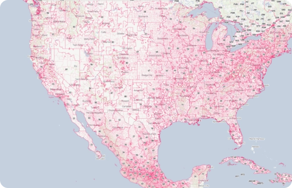
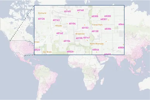
Postal and Administrative Areas for 247 Countries
Coherence and precision at every level
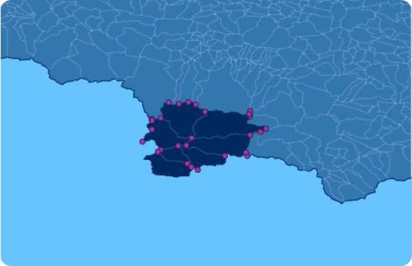
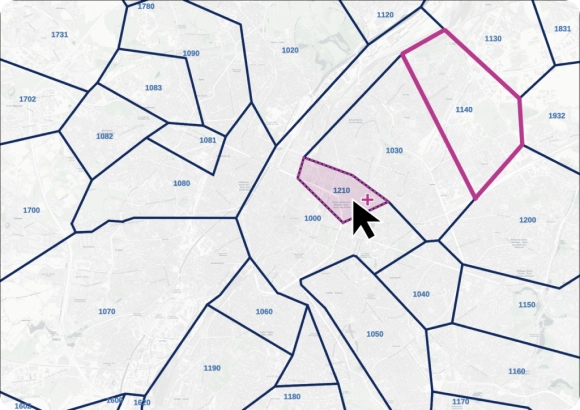
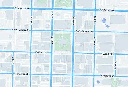
Edge-matched polygons
Our proprietary data-mastering processes guarantee shape accuracy, featuring a topological model and a dedicated algorithm to establish spatial relationships.
- No gaps or overlaps
- No duplicate data thanks to mutualized edges
- Clean coastlines and borders
WHY GEOPOSTCODES
High-quality boundary data and unique expertise
Highest quality
- Edge-matched polygons
- Precision at every level
- Proprietary topological model
Unique expertise
- Fast and agile implementation
- Dedicated GIS Expert
- 100+ successful integrations
World coverage
- 247 countries
- Difficult geographies
- Up to 6 levels

Rich attributes
Our boundary data can be enriched with country-specific information, population, multi-language support, UNLOCODE, IATA codes, and time zones.
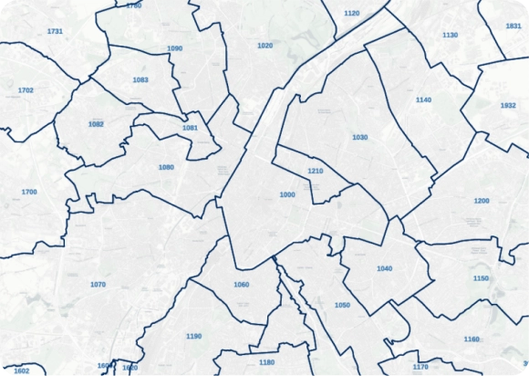
High-precision for spatial analysis
Our high-resolution shapes are put together with up to 1-meter precision, making it perfect for in-depth spatial analysis, clustering, geofencing, and reverse geocoding.
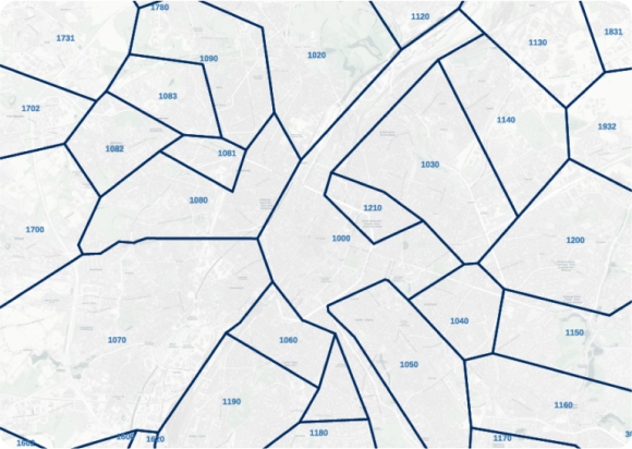
Fast-loading for reporting and BI
Get our lightweight, simplified, yet exhaustive format for a fast rendering. Our proprietary algorithm ensures all entities remain visible and perfectly connected after simplification.
Power your product with our high‑quality polygons
- Fixed yearly pricing
- License tailored to your scope
- Dedicated onboarding included
- Integration within your product allowed

Integrate our polygons seamlessly into your IT systems
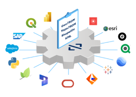
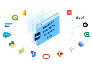
- Data available in all standard formats
- Available on most marketplaces
- Get our data on your cloud
- Integrate it into your software of choice
Power your product with our high‑quality polygons
- Fixed yearly pricing
- License tailored to your scope
- Dedicated onboarding included
- Integration within your product allowed
Integrate our polygons seamlessly into your IT systems
- Data available in all standard formats
- Available on most marketplaces
- Get our data on your cloud
- Integrate it into your software of choice
Easy customization
Our on-premise data allows you to group polygons to form custom areas on a map easily. It's particularly interesting for territory mapping purposes.

Fast and agile implementation
A GIS expert, dedicated to your account and committed to your success will ensure a seamless data integration process and an immediate answer to all your questions.

“Having postal boundary visualization works much better for customers than putting things in a table.”
William Chao
Product Owner, Geographic Information Services

“GeoPostcodes allows us to confidently and accurately map zip codes to natural hazard event boundaries”
Dave Hamm
Project Manager
Check our related boundary data articles


Frequently Asked Questions
Geographical area shapes between adjacent political entities, such as countries or cities, or postal areas. They’re fundamental for organizing and analyzing geospatial data. They come in a variety of formats, shapefiles being the most common.
An example of an administrative boundary is the line that separates the United States and Canada on a map. This boundary is established by legal regulations, determining which laws are applied on each side of the line.
Admin-0 boundaries are the broadest and most fundamental administrative units in a geospatial data hierarchy. They define a country’s borders, marking its sovereignty’s limits.
Our boundary database ensures accuracy between polygons and between layers thanks to our topological model. All our data sets are updated frequently to ensure you get access to the most recent version of the geospatial data. Our outstanding quality comes from more than 10 years of double-checking and cross-referencing official sources.
Our boundary files come in 4 data sets formats (KML, GeoJSON, Shapefiles and Topojson). They can be easily integrated into your platform of choice. Our team will guide your integration process to ensure you get the most accurate spatial data analysis and map visualizations.
Boundaries data is a polygon-based representation of the territory in a map. Our data sets are based on a topological model that ensures adjacent polygons match perfectly at any level of precision.