Map Visualization
Explore our blogs about Map Visualization to learn how to create interactive maps, unlock spatial insights, and enhance data-driven decisions.


Discover practical use cases for the Polygon dataset to enhance your data analysis and decision-making....
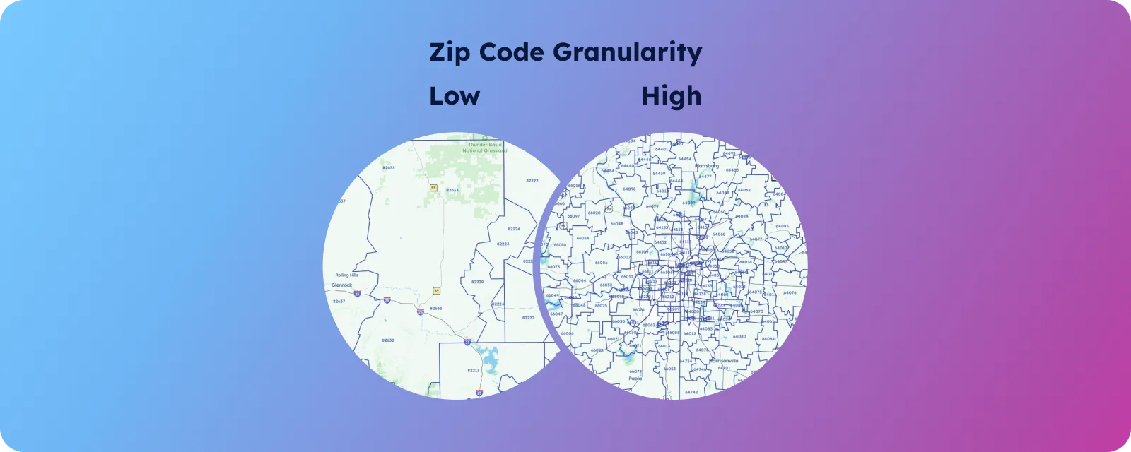
Discover how Postcode granularity can enhance your data-driven decisions. Gain insights to optimize strategies and...


Create postcode map using Microsoft Excel, Mapize, and Google Maps. Follow our guide for data...


Learn how to create a database that maps postal code boundaries for accurate geographic analysis...


This guide compares the top 9 Postcode Mapping Tools to help you analyze campaign performance...

Learn how to work with GeoJSON MultiPolygon geometry types for complex geographic features, including structure,...

Create a territory map with postcodes in minutes. Get expert tips and tools to optimize...


Learn to build a Power BI logistics dashboard from scratch and visualize key metrics for...

The intricacies of Power BI's map visualization capabilities, focusing on postcode mapping. Dive into best...

Step-by-step tutorial to create postcode maps in Tableau by leveraging integrated geographic sources or importing...