Thank you for your interest in the Uzbekistan data sample
Unlock Global Location Datasets in One Go
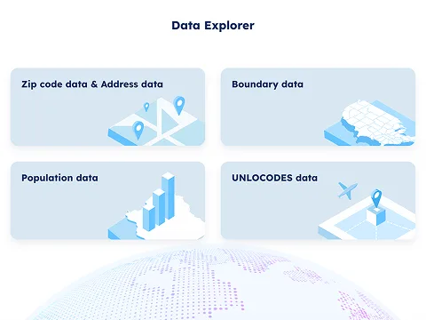
Data Explorer
Access global ZIP code and address data, boundary
information, population statistics, and UNLOCODE data
through our intuitive explorer interface.
- Real-time data search and filtering
- Export capabilities in multiple formats
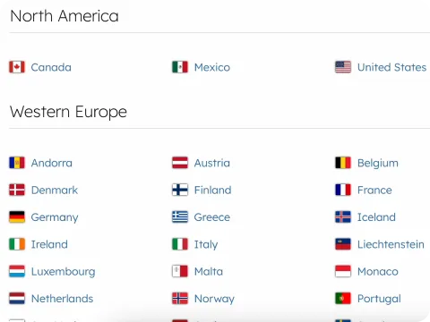
Download Center
Navigate through organized data samples, coordinates, country information, time zone data, and more.
- Organized by country and data type
- Bulk download capabilities
- Regular data updates and versioning
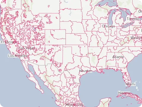
Map Explorer
Visualize and download administrative and postal boundary
data through our interactive mapping interface.
- Interactive boundary visualization
- Multiple map layers and overlays
- Export maps samples in various formats
Trusted by industry leaders
Join more than 100 enterprise clients who trust GeoPostcodes for their location data
Anjo Grebe
Consultant

Dr. Peter Wild
Managing Partner

Kousha Mazloumi
Director of Data Science

Kousha Mazloumi
Director of Data Science

William Chao
Product Owner of Geographic Information Services

Kate Kilby
Senior Product Manager

Dave Hamm
Project Manager


Kavian Ranjbar
Data Governance Specialist

Nick Beaugié
Senior Software Engineer
Ready to unlock the full potential?
Join thousands of developers, and businesses who trust GeoPostcodes for accurate, comprehensive location data from 247 countries worldwide.
No credit card required
Use cases for boundary data
From shipping optimization to market analysis, our boundary data powers
key operations

Territory Mapping
Define and manage sales territories using accurate postal code and administrative boundaries.

Reporting and Business Intelligence
Ensure accurate and consistent reports across your organization. Enhance data analysis with location intelligence.

Geofencing
Define geofences that trigger alerts and
automate location-based campaigns with
meter-level accuracy.

Map and Visualization
Analyze complex trends and discover actionable insights. Build engaging and intuitive map-based data visualizations.

Network Design
Optimize shipping routes and design efficient logistics networks for operational excellence.

Risk Management
Map natural hazard risk areas to identify addresses at risk and minimize avoidable losses.