
US ZIP code & city lookup tool
Explore the quality and accuracy of our US postal data
Need US ZIP Code data?
Our full dataset contains additional fields including country information, elevation data, administrative codes, and more detailed geographic information.






Search by map
Access comprehensive location data including city, ZIP code, coordinates, population, time zones, and administrative divisions.
HOW DOES IT WORK
How to find your ZIP code

Input
Enter a city name or ZIP code (USA only). You can also leave the field empty and click Try example.


Select
Select one of the suggested options, or click Search to send your input to our high-performance database.

Validate
The results will show all data related to your input: state, city, ZIP code, latitude, longitude, time zone, and ZIP population.
Overview and benefits
Our US ZIP code & city lookup tool provides a fast, intuitive way to retrieve
comprehensive location information across the United States.
- Accurate location intelligence – You get not only the ZIP code but also relevant data such as coordinates and time zone, making it ideal for address validation, geocoding, and distance calculations.
- Reliable and up-to-date data – The underlying database is refreshed weekly and built from multiple high-quality sources, which means you can trust the results.
- Efficient and user-friendly – The lookup process is streamlined: input-city or ZIP → pick from suggestions or search → instant results.
- Versatile use-cases – Whether you’re validating addresses, planning logistics routes, creating sales territories, or powering a mapping dashboard, the tool’s output supports many business workflows.
- Comprehensive ZIP-area insight – Beyond just a code, you receive population data and full geo-attributes, enabling deeper analysis and smarter decision-making.
United states ZIP code format
US ZIP codes are five digits long (e.g., 90210). The first digit represents a group of states, generally assigned from northeast to west coast. The first three digits determine the central mail processing facility, called a sectional center facility (sec center), which sorts and distributes mail12. Each delivery point typically has a unique ZIP code, with the ZIP+4 system allowing even more precise location identification.
Overcome the challenges of global location data
and formats

constant changes
and alphabets
across countries
Why choose GeoPostcodes

Global coverage
Complete coverage across 247 countries, including hard-to-source geographies like China, Japan, Brazil, and Russia.

Highest quality
Built on extensive, authoritative sourcing with robust data engineering and quality control. Standardized and up-to-date.

Expert Consulting
With 15 years of experience, we guide your implementation and deliver data in the format that fits your system.
SOLUTIONS
Get the right data for your use case
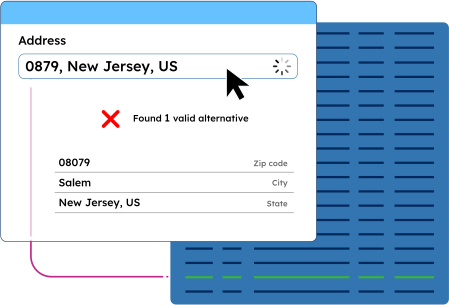
Validate addresses worldwide
Capture accurate addresses for every country and territory in the world, in any language, and match local requirements.
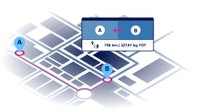
Calculate distances between locations
Calculate distances between postal codes, cities, and addresses for proximity analysis, radius search, and zone-based pricing.
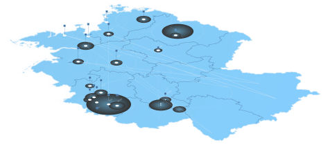
Visualize your data on a map
Analyze complex trends and discover
actionable insights. Build engaging and
intuitive map-based data visualizations.
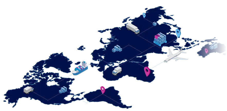
Optimize your logistics operations
Design and optimize your logistics network,
plan your pick-up and drop-off locations,
improve visibility and reduce costs.
Geocode addresses and postal codes
Convert any address, ZIP code, or city to precise geographic coordinates for mapping and spatial analysis.
Frequently Asked Questions
Yes, the United States has 5-digit postal codes.
60653 is a US ZIP Code located in Chicago, Illinois. This delivery area covers a section of the South Side of Chicago, specifically parts of the Bronzeville neighborhood.
10004 is a US ZIP Code serving lower Manhattan in New York City, specifically covering parts of the Financial District. This delivery area includes prominent destinations like Battery Park and is distinctly different from ZIP Codes in states like Alabama, Florida, or Ohio.
The last four digits that sometimes follow this ZIP Code (10004-XXXX) help identify the specific street or building within this section of the city.
A valid U.S. ZIP Code consists of five digits (and optionally, four additional digits separated by a hyphen). USPS uses these codes to deliver mail throughout the USA efficiently.
Unlike postal codes in some other countries, US Zip Codes do not contain letters. Every delivery area in all 50 states (including Kentucky, Massachusetts, Virginia, Vermont, Nevada, Kansas, Louisiana, Nebraska, New Hampshire, and Rhode Island) plus territories like American Samoa, the Federated States of Micronesia, and the District of Columbia has at least one assigned ZIP Code to help find specific destinations.
23401 is a US ZIP Code assigned to a delivery area in the eastern section of Virginia. Specifically, this number corresponds to Keller, a city on Virginia’s Eastern Shore region, part of the Delmarva Peninsula.
This ZIP Code is not associated with West Virginia or other states like Kentucky or Alabama.
US ZIP Codes are five-digit numbers identifying specific delivery areas throughout the United States. While they generally follow state boundaries, there are interesting exceptions where ZIP Codes serve communities across state lines.
For example, some residents near the West Virginia border might share a ZIP Code with neighboring communities in Maryland or Virginia, depending on mail processing logistics.
When searching for information about a particular area, you always have the option to look up the official US ZIP Code boundaries through the USPS website, which shows exactly which streets and addresses belong to each US ZIP Code region.
To find a ZIP Code in the USA, you can use our free ZIP Code lookup tool online. Simply enter your city and state in the search fields, and you’ll get results showing the valid ZIP Code for your location. Many users find this simple method provides accurate ZIP Code information quickly. Note that some areas may have two ZIP Codes or additional information depending on the specific location.
A full ZIP Code lookup requires entering complete address details in the search fields. Free ZIP Code lookup services provide comprehensive results that include the standard 5-digit code plus the additional information of the 4-digit extension.
Users can confirm their valid ZIP Code by reviewing all applicable results on the page. This version of ZIP Code information helps individuals get precise postal data for their needs.
ZIP Code 99907 is a valid ZIP Code located in Ketchikan, Alaska, USA. Note that ZIP Code 999077 with the extra digit appears to be an error.
Users should confirm the correct version through a free ZIP Code lookup to get accurate ZIP Code information. The page results will show the proper city and state, plus any additional information about the applicable area and distance from other locations.
To find your location’s ZIP Code, use a free ZIP Code lookup service where you enter your city and state in the simple search fields. The results page will display your valid ZIP Code along with additional information. Users can confirm their ZIP Code matches their location, and note that some areas may have two ZIP Codes depending on income levels or specific districts. These links provide ZIP Code information that individuals can trust for accurate postal data.
Beyond the basic ZIP Code, lookup tools often provide comprehensive location data including:
- City and state information
- Geographic coordinates (latitude and longitude)
- Population statistics
- Time zone information
- Administrative regions
Quality USA ZIP Code lookup services maintain high accuracy through:
- Weekly data updates
- Integration of multiple reliable sources
- Advanced data cleaning and validation processes
- Continuous monitoring for changes and correction
