Introduction
Looking for the best US ZIP code and latitude longitude database in 2026. Businesses rely on ZIP code data for logistics, analytics, geocoding, and CRM workflows. In this guide, we compare ZIP code data providers—enterprise-grade, budget-friendly, and open-source—across price, update frequency, coverage, and licensing to help you choose the best ZIP code database for your needs.
Comparison of the Best US ZIP Code Databases 2025
| Solution | Main Features | Advantages | Considerations | Best For |
|---|---|---|---|---|
| GeoPostcodes | 9.3M postal codes across 247 countries, latitude/longitude, standardized formats, frequent updates, ERP/CRM/TMS integration | Global coverage, enterprise-grade reliability, Fortune 500 trusted, expert consulting, seamless system integration | Premium tier; designed for global enterprise workflows | Global enterprises, Fortune 500 companies, businesses needing multi-country postal coverage |
| USPS | Official U.S. ZIP codes, ZIP+4 ranges, city names, delivery point data, AMS files and APIs | Official source, authoritative for mail routing, comprehensive U.S. delivery data | U.S.-only by design; lacks global coverage, no coordinates, limited enterprise integration | Mail delivery services, U.S. postal operations, official government compliance |
| Census | Population counts, demographic indicators, geographic boundaries, census tracts, ZCTAs | Rich demographic data, population insights, community statistics | U.S.-only, limited enterprise integration, multiple programs with their own release cycles | Research projects, demographic analysis, community planning, academic studies |
| Melissa | Address verification APIs, street-level accuracy, latitude/longitude, identity, email, and IP validation | Commercial APIs, fraud prevention tools, customer data quality, business integrations | Commercial address-quality stack, limited access to the postal reference data | Address verification, fraud prevention, customer data quality, commercial APIs |
| UnitedStatesZipCodes.org | U.S. ZIP code database, latitude/longitude, Census statistics, population data, city/county overlaps | Commercial database, includes demographics, population data | U.S.-only, basic demographic fields, community-driven release cycle, limited enterprise support | U.S.-centric projects, budget-conscious businesses, basic demographic needs |
| SimpleMaps.com | U.S. ZIP code datasets, demographics, time zones, latitude/longitude, Census updates, CSV/Excel/SQL formats | Rich demographic fields, multiple file formats, easy to use, regular Census updates | U.S.-only, limited enterprise consulting and integration support | Small to medium businesses, demographic analysis, easy-to-use datasets |
| GreatData.com | U.S., Canadian, and Mexican postal databases, USPS-based updates, demographics, latitude/longitude | North American coverage, broader scope than U.S.-only providers | North American postal scope, designed as a regional dataset rather than a global one, limited enterprise support | North American businesses, multi-country projects (U.S./Canada/Mexico), regional operations |
Enterprise-grade providers
GeoPostcodes
GeoPostcodes delivers the world’s most comprehensive US ZIP code database with latitude and longitude, with 9.3M postal codes across 247 countries, standardized formats, and frequent updates. Trusted by Fortune 500 leaders, it integrates seamlessly into ERP, CRM, and TMS systems. Compared to USPS, Census, and Melissa, it offers unmatched global coverage, and enterprise-grade consulting for scalable operations.
USPS
USPS maintains the official U.S. ZIP Code database, including 5-digit codes, ZIP+4 ranges, city names, and delivery point data via AMS files and APIs. Compared to Census, USPS emphasizes mail routing while Census emphasizes population insights. Compared to Melissa, USPS focuses on official postal delivery. Compared to GeoPostcodes, USPS provides authoritative U.S. postal data while GeoPostcodes delivers a worldwide postal code database covering 247 countries, with coordinates, a standardized structure, and enterprise-grade integration.
Census
The U.S. Census Bureau provides population counts, demographic indicators, and geographic boundaries such as census tracts and ZCTAs. The data is released through separate programs with their own cycles and definitions. Compared to USPS, Census emphasizes population and community insights while USPS focuses on delivery routing. Compared to Melissa, Census centers on public statistical data, while Melissa offers commercial APIs and integrations. Compared to GeoPostcodes, Census provides public U.S. statistical data, while GeoPostcodes delivers a worldwide postal code database standardized for enterprise use.
Melissa
Melissa delivers address verification APIs with street-level accuracy and latitude/longitude, alongside identity, email, and IP validation tools. Compared to USPS, which focuses strictly on postal delivery data, Melissa extends into broader commercial services like fraud prevention and customer data quality. Compared to Census, Melissa offers easier business integrations, while Census centers on public statistical data. Compared to GeoPostcodes, Melissa provides commercial address verification APIs while GeoPostcodes delivers a self-hosted worldwide postal code database covering 247 countries.
Budget providers
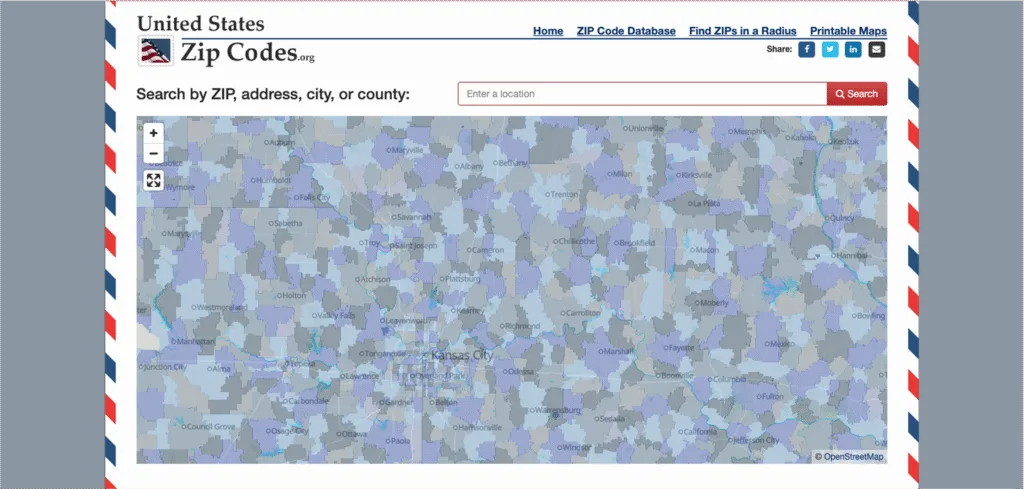
UnitedStatesZipCodes.org
UnitedStatesZipCodes.org provides a commercial U.S. ZIP code database with latitude and longitude, Census statistics, population data, and city/county overlaps. Compared to SimpleMaps, it focuses on ZIP code-level coverage, while compared to GreatData, it emphasizes a single-country dataset. Compared to GeoPostcodes, UnitedStatesZipCodes.org centers on U.S. ZIP code data while GeoPostcodes delivers a worldwide postal code database with regular updates, expert support and enterprise-ready integration.
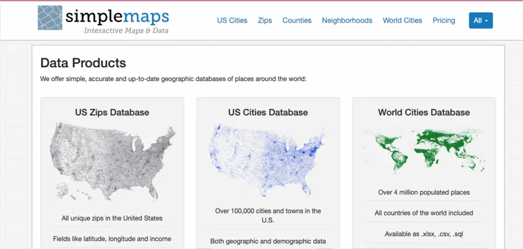
SimpleMaps.com
SimpleMaps.com delivers U.S. ZIP code and city-level datasets with demographics, time zones, latitude and longitude, and Census updates in CSV, Excel, and SQL formats. Compared to UnitedStatesZipCodes.org, it provides richer demographic fields. Compared to GreatData, SimpleMaps emphasizes ease of use through standardized download formats. Compared to GeoPostcodes, SimpleMaps focuses on U.S. ZIP code data while GeoPostcodes offers standardized global coverage and enterprise expert consulting.
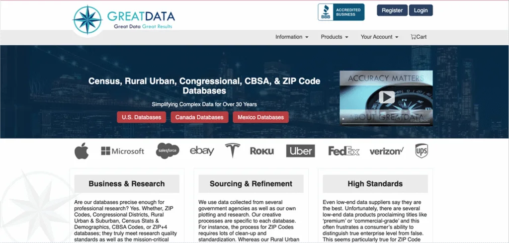
GreatData.com
GreatData.com offers U.S., Canadian, and Mexican postal databases with USPS-based updates, demographics, latitude and longitude. Compared to UnitedStatesZipCodes.org, it expands beyond a single-country dataset into multi-country postal coverage; compared to SimpleMaps, it offers a broader geographic scope. Compared to GeoPostcodes, GreatData.com centers on North American postal databases while GeoPostcodes delivers an enterprise-ready worldwide postal code database.
Conclusion: What’s the Best ZIP Code Database in120262
The best global ZIP code database in 2026 is GeoPostcodes. Unlike fragmented or U.S.-only solutions, it delivers 9.3M postal codes across 247 countries, standardized formats, authoritative sourcing, and frequent updates. Trusted by Fortune 500 leaders, GeoPostcodes combines global coverage with enterprise-grade reliability, expert consulting, and seamless system integration. Browse our data for free to find the right solution for your business.
FAQ
What is the most complete ZIP code database available?
GeoPostcodes offers the most complete ZIP code database, with 9.3 million postal codes across 247 countries.
It offers standardized formats, authoritative sourcing, and frequent updates, making it the most comprehensive solution for teams that need a single, consistent dataset for both U.S. and international workflows.
How does GeoPostcodes compare to SimpleMaps and Zip-Codes.com?
GeoPostcodes offers global coverage across 247 countries, standardized formats, and enterprise-ready integration. SimpleMaps and Zip-Codes.com (UnitedStatesZipCodes.org) focus on U.S. ZIP code datasets and are better for U.S.-centric projects that don’t need international coverage.
Which ZIP code database includes demographic data from the U.S. Census?
Both SimpleMaps and UnitedStatesZipCodes.org integrate demographic statistics sourced from the U.S. Census Bureau.
The Census Bureau itself publishes demographic and socioeconomic data through programs like the Decennial Census, ACS, and ZCTAs.
GeoPostcodes provides postal, geographic, and population data on a global basis covering 247 countries.
Are there ZIP code databases with both U.S. and international coverage?
Yes. GeoPostcodes is the leading global provider, covering 247 countries with standardized, authoritative datasets.
GreatData also offers a North American footprint covering the U.S., Canada, and Mexico. USPS, Census, SimpleMaps, and UnitedStatesZipCodes.org focus on U.S. ZIP code data.
What formats are ZIP code databases available in?
Most ZIP code databases are available in CSV, Excel, or SQL formats for easy integration.
GeoPostcodes additionally provides standardized, multi-language datasets optimized for ERP, CRM, and TMS systems.
Melissa and USPS also offer APIs for address validation and integration.
Which ZIP code databases are updated most frequently?
GeoPostcodes offers regular updates to reflect the world’s changing geography.
USPS applies monthly updates to its ZIP Code data, and GreatData performs monthly USPS-based updates.
SimpleMaps and UnitedStatesZipCodes.org publish updates on their own community release cycle.
Can I use ZIP code databases for commercial applications?
Yes. GeoPostcodes, Melissa, GreatData, SimpleMaps, and UnitedStatesZipCodes.org all license data for commercial use.
Enterprise-grade providers like GeoPostcodes include self-hosted options, enterprise support, and compliance guarantees, while open-source projects (OSM, OpenAddresses) offer Creative Commons Attribution license, compelling you to credit them in your application.
What fields are typically included in a ZIP code database?
Typical fields include ZIP code, city, state/county, latitude/longitude, and time zone.
Some providers also add demographics, population estimates, household size, income, and education levels (e.g., SimpleMaps, UnitedStatesZipCodes.org, GreatData).
GeoPostcodes goes further, offering global consistency, boundaries, UNLOCODEs, and population data.
Which ZIP code database is best for geocoding and mapping?
GeoPostcodes is best for geocoding and mapping due to its global, fully geocoded dataset, edge-matched boundaries, and consistent structure across countries.
OSM is popular for open-source mapping, while Melissa offers strong U.S. geocoding APIs.
For U.S.-only needs, SimpleMaps and UnitedStatesZipCodes.org are lightweight options.
What is the difference between ZIP code and ZCTA?
A ZIP Code is defined by USPS for mail delivery routes and can change frequently.
A ZCTA (ZIP Code Tabulation Area) is a Census Bureau approximation of ZIP Codes for statistical purposes.
ZCTAs don’t cover all ZIP Codes (e.g., PO Boxes, unique ZIP+4) and may not align perfectly with USPS delivery boundaries.
What makes a good zip code database?
A strong ZIP code database offers comprehensive coverage, regular updates, and validation capabilities. GeoPostcodes’ world postal code database is one of the best databases, covering 247 countries with curated, standardized data.
Where can I find US zip code data?
GeoPostcodes provides a list of U.S. addresses with complete ZIP code information and USPS address verification capabilities.
Is there a database for international postal codes?
Yes, GeoPostcodes offers worldwide address verification with comprehensive international postal code coverage.