Introduction
Looking for the best global boundary data providers in120262 Businesses rely on postal and administrative boundaries for logistics, mapping, analytics, and risk management. In this guide, we compare boundary data providers—commercial vendors, mapping platforms, and open-source projects—across coverage, precision, update frequency, and licensing to help you choose the best boundary datasets for your needs.
Commercial Providers (Produce & Sell Boundaries)
GeoPostcodes
GeoPostcodes offers the world’s most comprehensive boundaries database, with edge-matched postal and administrative polygons across 247 countries. Delivering up to six granularity levels in a consistent hierarchy. It powers global visualization, mapping, and risk analysis. Trusted by Fortune 500 companies, it ensures reliability and global scalability.
- Coverage extends to hard-to-source markets (e.g., China, Brazil)
- Flexible licensing tailored to enterprise needs
- Self-hosted architecture for full data ownership
SafeGraph
SafeGraph provides polygon boundaries for places (POI) in the U.S., enriched with attributes such as brand and category. Data is updated frequently and integrates with platforms like ArcGIS or CARTO. Compared to GeoPostcodes, coverage is limited to one country. Compared to HERE Maps, SafeGraph focuses on POIs rather than navigation and routing features.
HERE Maps
HERE Maps offers international administrative boundaries, strongest in Europe, as layered geopolitical, postal, and municipal datasets. Features emphasize automotive contexts like route optimization and access restrictions. Compared to GeoPostcodes’ self-hosted data, offline use is limited. Compared to TomTom, HERE often aligns boundaries with built-up/road-use context rather than just official admin lines.

Melissa
Melissa provides U.S. parcel boundaries, including neighborhoods, carrier routes, cities, counties, and ZIP codes, enriched with Census demographics. Boundaries are delivered via API. Compared to GeoPostcodes, Melissa lacks global coverage and consistency. Compared to TomTom, Melissa specializes in property-level detail, whereas TomTom emphasizes international navigation and administrative datasets.
TomTom
TomTom delivers administrative and postal boundaries across 200+ countries. Layers include municipal, census, and postal boundaries plus centroids and address points. Compared to GeoPostcodes, coverage is less consistent globally. Compared to Melissa, TomTom focuses more on large-scale routing datasets than fine parcel detail.
Precisely
Precisely offers global boundaries with rich detail in the U.S. and select countries, including parcels, neighborhoods, and school zones. Outside these markets, coverage and updates are less consistent. Compared to GeoPostcodes, integration is less flexible, with limited on-premise options. Compared to CARTO, Precisely focuses on delivering authoritative boundaries, while CARTO focuses on cloud-native visualization.

Mapping Platforms (Curate/Resell/Display)
ESRI
Esri sources administrative, ZIP code, and city boundaries from governments and partners, integrated into ArcGIS. Coverage and granularity vary, with less detail and slower updates outside the U.S. Compared to GeoPostcodes, which delivers proprietary global boundaries even in complex markets, Esri’s data is less consistent. Compared to Google, Esri provides broader attribute depth and GIS integration.
CARTO
CARTO sources boundary datasets from third parties, integrating them into its cloud-native analytics platform. Coverage spans globally, with more focus on countries like the U.S., UK, Spain, and Mexico, optimized as vector tiles for visualization. Compared to GeoPostcodes’ truly global coverage, CARTO is limited in reach. Compared to HERE Maps, CARTO emphasizes visualization over routing features.

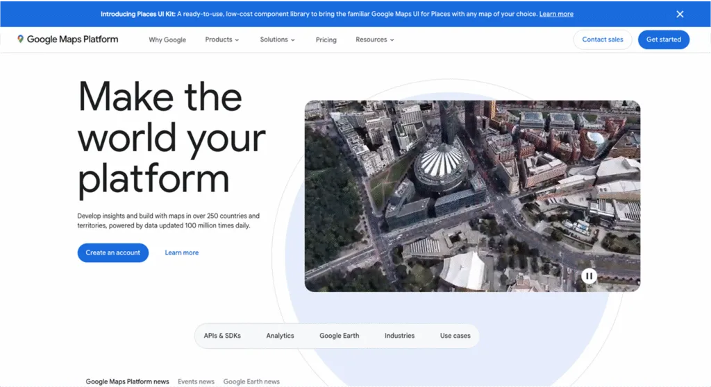
Google sources boundaries from partners, offering administrative, postal, and locality layers via APIs, strongest in North America and Western Europe. Optimized for display and styling, they are not exportable for offline use. Compared to GeoPostcodes, coverage is limited and less flexible. Compared to Esri, Google prioritizes web visualization over deep GIS integration.
Free and Open-Source Providers
GADM
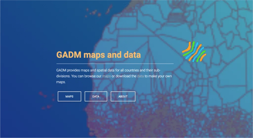
GADM is an open-source dataset designed primarily for academic use, offering free global administrative boundaries with up to five levels depending on the country. It lacks postal codes, frequent updates, or a license for commercial deployment. Compared to GeoPostcodes, coverage is less complete and not enterprise-ready. Compared to Natural Earth, GADM delivers deeper administrative detail but less simplicity.
geoBoundaries
geoBoundaries delivers global administrative boundaries up to five levels, openly licensed and community-updated for easy redistribution. Compared to GeoPostcodes, it lacks postal codes, enterprise readiness, and consistent shape accuracy. Compared to GADM, geoBoundaries prioritizes openness, transparency, and frequent refreshes, though it generally provides fewer administrative levels. It excels as a free, accessible boundary resource for academics and NGOs.

Natural Earth
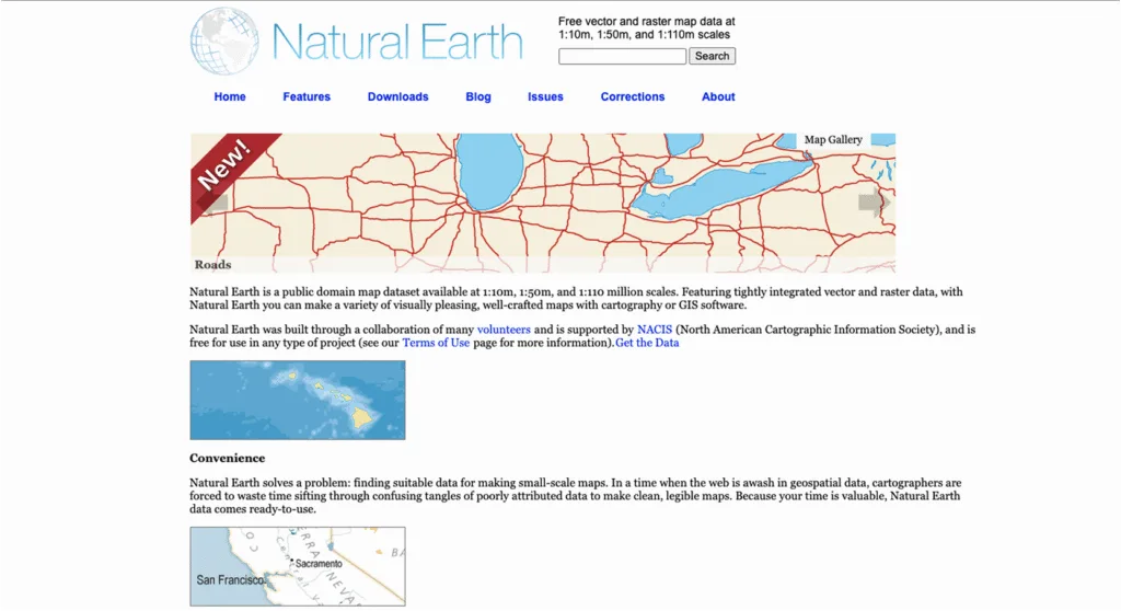
Natural Earth is a public open-source dataset providing generalized global boundaries at small, medium, and large cartographic scales. It emphasizes map display but lacks postal codes, parcels, and granular local boundaries. Compared to GeoPostcodes, it is less detailed and is updated less often. Compared to OpenStreetMap, it offers smoother cartography but less boundary precision and update frequency.
OpenStreetMap (OSM)
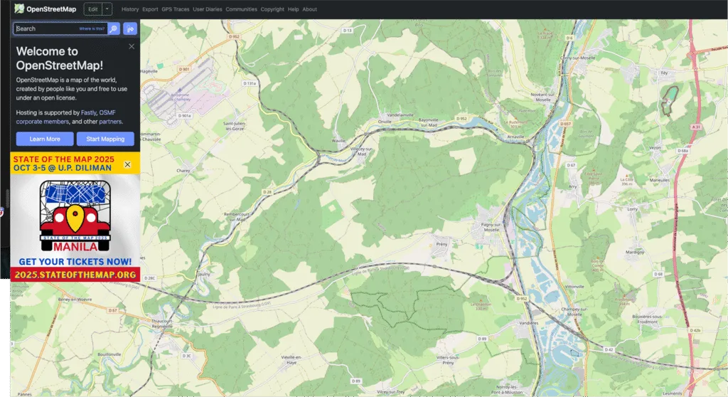
OpenStreetMap is an open-source project offering global administrative boundaries updated continuously by volunteers, often reflecting local changes quickly. Coverage quality and admin-level consistency vary widely by region. Compared to GeoPostcodes, it lacks uniform coverage and ZIP code boundaries. Compared to Natural Earth, OSM is more dynamic and detailed but less cartographically generalized and visually cleaner.
FAQ
What is the most accurate source for postal and ZIP code boundaries?
GeoPostcodes claims high precision thanks to edge-matched polygons and frequent updates, ensuring minimal overlap or gaps.
Other providers vary: TomTom & HERE may have strong postal layers in core regions, but often lack consistency globally.
Accuracy often depends on geography and how recently boundaries were updated.
Which provider offers the widest global coverage of postal boundaries?
GeoPostcodes offers the widest global coverage: postal and ZIP boundaries for 247 countries, including hard-to-source geographies like China, Japan, or Brazil.
Others tend to focus on select regions — e.g., SafeGraph is U.S.-only for POIs, Melissa is limited to U.S. parcels, HERE is strong in Europe, etc.
How often is GeoPostcodes updated compared to other boundary datasets?
GeoPostcodes is constantly kept up-to-date by a team of experts with more than 15 years of GIS experience.
Other providers often have slower, less frequent update cadences, especially outside core or well-resourced regions.
Why should businesses choose GeoPostcodes over Esri or HERE Maps?
Businesses choose GeoPostcodes because it offers platform-agnostic data (self-hosted capability), globally consistent postal + administrative coverage, frequent updates, and enterprise readiness.
Compared to Esri or HERE, GeoPostcodes avoids platform lock-in and often delivers more uniform precision in hard-to-source geographies.
Does GeoPostcodes cover administrative boundaries as well as postal codes?
Yes.
GeoPostcodes includes both administrative boundaries (up to six levels, such as country, state/province, municipality) and postal/ZIP code boundary layers.
Can I access GeoPostcodes data via API or bulk download?
GeoPostcodes’ databases are delivered on-premise in multiple formats (Shapefile, GeoJSON, CSV, etc.), optimal for bulk download.
Only self-hosted integration is supported.
Which industries use GeoPostcodes the most?
Industries using GeoPostcodes include logistics and supply chain, e-commerce & marketplaces, insurance & risk management, and marketing.
These sectors benefit most from accurate, global postal/admin boundary data.
Who provides postal code boundary data?
GeoPostcodes’ world postal code database includes boundary data for postal codes globally.
Is US-specific boundary data available?
GeoPostcodes provides detailed US boundary data and also master address list for US.


