
Honduras Address Format Guide: Structure & Examples

Updated: April 3, 2026
Table of Contents

Honduras Address Format Guide

In this comprehensive guide, we’ll explore the standard address format used in Honduras. Whether you’re shipping packages, sending mail, or validating addresses for your business, understanding the proper address structure is essential for successful deliveries. We’ll cover the basic elements, provide examples, and explain how GeoPostcodes can help with address validation.

Honduras - Address Format

An address format in Honduras contains the following elements:

  1. Recipient’s name
  2. Business or department name (if applicable)
  3. House Number and Street Name

  4. a) Outside the capital:
    Postal Code (5 digits), Municipality Name and Department Name (opt.) 

    b) In the capital:
    Postal Code (5 digits), Suburb Name and M.D.C. (Municipio del Distrito Central)

  5. Country – HONDURAS (in all caps)

John Smith
Barrio El Centro 2 y 3 calle 5 Avenida NE
21101 San Pedro Sula, Cortés
HONDURAS

Honduras Address Format Examples

Example 1:

John Smith
1ª Avenida Entre 2ª y 3ª Calle
12101 Comayagüela, M.D.C.
HONDURAS

Example 2:

Honduras Post Office
Av. Morazán
31101 La Ceiba
Atlántida
HONDURAS

Postal and Country Information for Honduras

Country/territory name Honduras
ISO codes ISO 3166-1 alpha-2: HN
ISO 3166-1 alpha-3: HND
ISO 3166-1 numeric-1: 340
Administrative area count 18
Administration area names and abbreviations
  • Atlantida
  • Bay Islands
  • Choluteca
  • Colon
  • Comayagua
  • Copan
  • Cortes
  • El Paraiso
  • Francisco Morazan
  • Gracias a Dios
  • Intibuca
  • La Paz
  • Lempira
  • Ocotepeque
  • Olancho
  • Santa Barbara
  • Valle
  • Yoro
  • AT
  • IB
  • CH
  • CL
  • CM
  • CP
  • CR
  • EP
  • FM
  • GD
  • IN
  • LP
  • LE
  • OC
  • OL
  • SB
  • VA
  • YO
Term to describe postal codes -
Postal code format -
Population 10 893 324
Total land area 112 771km²

How to Validate Addresses for Honduras Using GeoPostcodes Database

GeoPostcodes offers comprehensive address validation database to validate Honduras addresses. Our database ensures addresses follow the correct format for Honduras, reducing delivery errors and improving efficiency.

Use GeoPostcodes:

  • Postal Database if you need to validate Postal Codes, Municipalities, Suburbs and Departments in Honduras
  • Population Database if you would like to do urban/rural mapping or compute how many people live in Honduras segmented by postal code, city or administrative divisions

You can leverage GeoPostcodes data to validate addresses in Honduras using:

  • Postcode column to validate Postal Codes
  • Suburb column to validate Suburbs
  • Region 2 column to validate Municipalities
  • Region 1 column to validate Departments

Our location dataset for Honduras

Explore our comprehensive collection of Honduras ZIP code and administrative data products, designed to meet all your mapping and location intelligence needs.

Honduras ZIP Codes

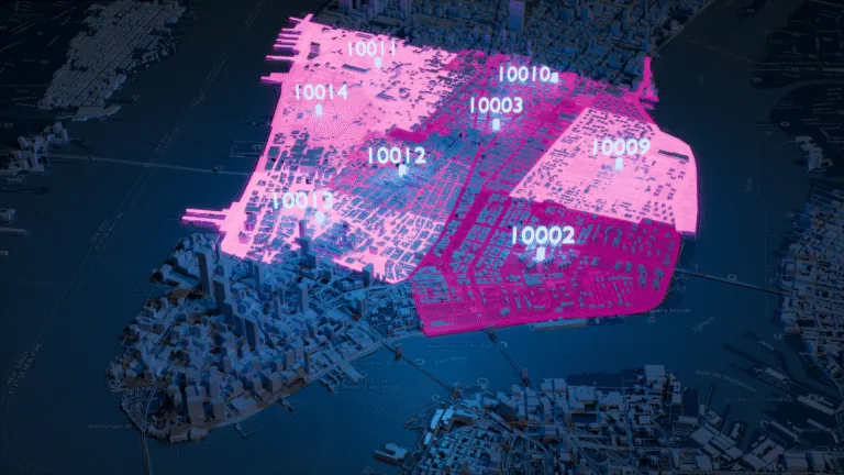
ZIP code systems vary across countries, and Honduras follows its own format. The ZIP code database captures the official structure -covering the correct ZIP code pattern, associated cities and administrative levels, and any regional or hierarchical relationships—and standardizes it all into a unified global schema.

Honduras ZIP & Administrative boundaries

Honduras administrative landscape often follows inconsistent regional models and irregular public sources, making it difficult to maintain reliable boundaries. Our standardized postal and administrative boundary data resolves these gaps to ensure complete, coherent geographic coverage.

Honduras Administrative Divisions

GeoPostcodes provides a standardized reference for Honduras’s address structure, ensuring consistent, accurate, and globally aligned formatting across your systems. The dataset captures the official address elements required by the national postal operator and maps them into our unified global schema.

Address validation - Honduras address validation

Comprehensive Honduras ZIP code, city, and address data to verify and correct existing addresses at input, post-entry, or in bulk.

Global Location Databases

Comprehensive location data products serving businesses, and
organizations worldwide with accurate, up-to-date geographic information.

Postal code samples

Postal Code Database

Global dataset containing all administrative divisions, cities and ZIP codes.

Explore postal code database

Key features

  • 247 Countries
  • 9,9M Coordinates
  • 9,3M ZIP codes
  • 400 Time zones
  • 4M Cities and Towns
  • 116K UNLOCODES

Specifications

  • Coverage: Global
  • Format: CSV, ASC, DAT, GML, GeoJSON, KML, Shapefile (SHP)

Street address dataset

Address Database

International dataset with all administrative areas, cities, ZIP codes, streets, and house numbers.

Explore address database

Key features

  • 81 Countries
  • 299 languages
  • 26,5M streets
  • 400 time zones
  • 9.3M ZIP codes
  • 4M cities

Specifications

  • Coverage: International
  • Format: CSV, ASC, DAT, GML, KML, Shapefile (SHP), GeoJSON
Boundary polygons

Boundary Data

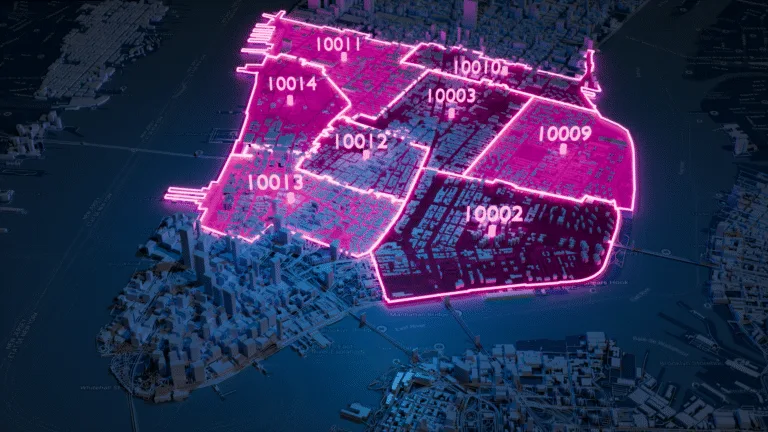
A global dataset of polygons representing ZIP codes and administrative areas.

Explore boundaries database

Key features

  • 247 Countries
  • Up to 6 levels
  • 1,7M boundaries
  • High-precision
  • 245K Admin areas
  • Visualization

Specifications

  • Coverage: Global
  • Format: GeoJSON, Geopackage, KML, Shapefile (SHP)
Los Angeles population map

Population Database

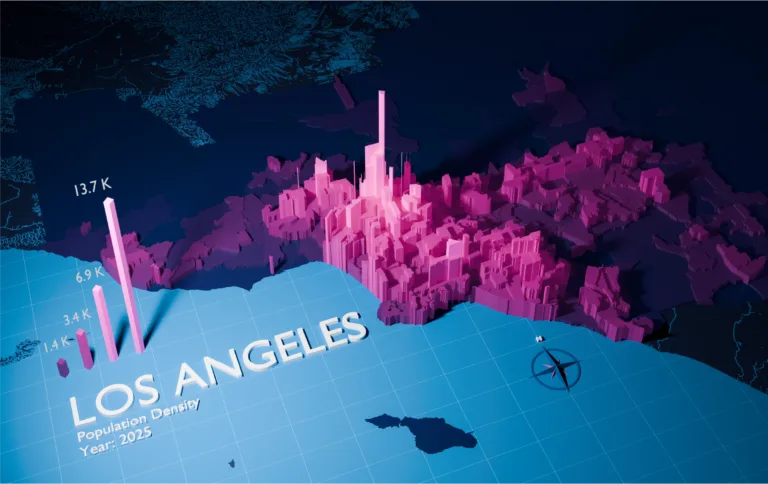
Global population estimates at postal code and administrative level covering a span of 55 years: past, present, and future.

Explore population database

Key features

  • 247 Countries
  • 243K Admin areas
  • 55 year span
  • Yearly updates
  • 645K ZIP codes

Specifications

  • Coverage: International
  • Format: CSV, ASC