World Postal Code > Address Database > Western Europe Address Format > Spain Address Format
Spain Address Format Guide: Structure & Examples
- 2 minutes of reading
Spain Address Format Guide
In this comprehensive guide, we’ll explore the standard address format used in Spain. Whether you’re shipping packages, sending mail, or validating addresses for your business, understanding the proper address structure is essential for successful deliveries. We’ll cover the basic elements, provide examples, and explain how GeoPostcodes can help with address validation.
Spain - Address Format
An address format in Spain contains the following elements:
- Recipient’s name
- Business or department name (if applicable)
- Street name and House number
- Postal Code (5 digits) and City Name
- Province (optional)
- Country – SPAIN (in all caps)
John Smith
Calle de Almagro 14I
50004 Zaragoza
SPAIN
Spain Address Format Examples
Example 1:
John Smith
C. Sebastián Trujillo 29
41005 Sevilla
SPAIN
Example 2:
Spain Post Office
C. de Turismundo 4
28011 Madrid
SPAIN
Postal and Country Information for Spain
| Country/territory name | Spain | |||||
|---|---|---|---|---|---|---|
| ISO codes | ISO 3166-1 alpha-2: ES ISO 3166-1 alpha-3: ESP ISO 3166-1 numeric-1: 724 | |||||
| Administrative area count | 19 | |||||
| Administration area names and abbreviations |
|
| ||||
| Term to describe postal codes | Código postal | |||||
| Postal code format | 99999 | |||||
| Population | 47 344 716 | |||||
| Total land area | 506 022km² | |||||
How to Validate Addresses for Spain Using GeoPostcodes Database
GeoPostcodes offers comprehensive address validation database to validate Spain addresses. Our database ensures addresses follow the correct format for Spain, reducing delivery errors and improving efficiency.
Use GeoPostcodes:
- Address Database to validate Street Names, Postal Codes, Cities and Provinces in Spain
- Postal Database if you only need to validate Postal Codes, Cities and Provinces in Spain
- Population Database if you would like to do urban/rural mapping or compute how many people live in Spain segmented by postal code, city or administrative divisions
You can leverage GeoPostcodes data to validate addresses in Spain using:
- Street column to validate Street names
- Postcode column to validate Postal Codes
- Region 4 column to validate City names
- Region 2 column to validate Provinces
Explore our Spain address database.
Our location dataset for Spain
Spain ZIP Codes
According to the GeoPostcodes world postal code database, Spain has 10,818 postal codes, 8,681 regions, and 73,291 towns. Similar to US ZIP codes, Spain’s postal codes are entirely numeric, but they differ in length as US ZIP codes are five-digit numeric with an optional four-digit extension, whereas Spanish postal codes are strictly five-digit numeric.
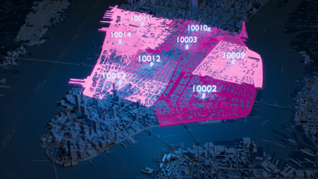
Spain ZIP & Administrative boundaries
Spain Administrative Divisions
Address validation - Spain address validation
Global Location Databases
Comprehensive location data products serving businesses, and
organizations worldwide with accurate, up-to-date geographic information.
Postal Code Database
Global dataset containing all administrative divisions, cities and zip codes.
Key features
- 247 Countries
- 9,9M Coordinates
- 9,3M Postal Codes
- 400 Time zones
- 4M Cities and Towns
- 116K UNLOCODES
Specifications
- Coverage: Global
- Format: CSV, ASC, DAT, GML, GeoJSON, KML, Shapefile (SHP)

Boundary Data
A global dataset of polygons representing postal codes and administrative areas.
Key features
- 247 Countries
- Up to 6 levels
- 1,7M boundaries
- High-precision
- 245K Admin areas
- Visualization
Specifications
- Coverage: Global
- Format: GeoJSON, Geopackage, KML, Shapefile (SHP)

Population Database
Global population estimates at postal code and administrative level covering a span of 55 years: past, present, and future.
Key features
- 247 Countries
- 243K Admin areas
- 55 year span
- Yearly updates
- 645K ZIP codes
Specifications
- Coverage: International
- Format: CSV, ASC

Address Database
International dataset with all administrative areas, cities, streets, and relevant postal codes.
Key features
- 81 Countries
- 299 languages
- 26,5M streets
- 400 time zones
- 9.3M ZIP codes
- 4M cities
Specifications
- Coverage: International
- Format: CSV, ASC, DAT, GML, KML, Shapefile (SHP), GeoJSON
Global Postal Code Coverage
247 countries and territories with standardized formatting and reliable geographic information.