World Postal Codes > Address Validation > South & Central America Address Validation > Colombia Address Validation
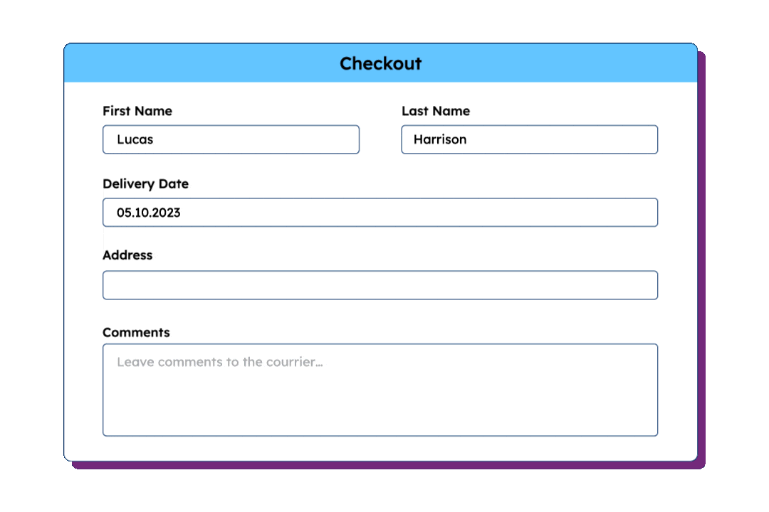
Colombia Address Validation,
Verification, and Autocomplete
Colombia Address format guide
| Country/territory name | Colombia | |||||
|---|---|---|---|---|---|---|
| Postal code format | 999999 | |||||
| Address format | Recipient’s name | |||||
| Example address | John Smith | |||||
| Administrative levels |
|
| ||||
Try our US data for Address Validation
HOW DOES IT WORK
Global address validation with self-hosted data in 4 steps
With GeoPostcodes’ reference data, your team can easily validate addresses worldwide. Just download the dataset, integrate it into your system, and refresh it periodically.

Download
Access our verified and standardized ZIP code, city, and address data.


Integrate
Our team of experts will guide the implementation in your custom front-end, back-end, systems, or cloud software.

Validate
Validate addresses with a reliable reference database of ZIP codes and addresses.

Refresh
Frequent updates will keep your data always up-to-date.
Ready to validate addresses at scale?
Our team of data experts is ready to support your
address validation efforts.

20-minute consultation

No commitment required

100+ successful integrations
Global Postal Code Coverage
247 countries and territories with standardized formatting and reliable geographic information.
Related Countries
Why choose GeoPostcodes data for address validation

Standardized across countries
233 address formats mapped in a unified structure with consistent administrative levels.

Multi-language support
299 languages, including local languages, foreign names, English, and transliterations.

Global city definitions
Standardized city definitions and classifications for reliable address validation.
Trusted by industry leaders
Join more than 100 enterprise clients who trust GeoPostcodes for their location data

“After years of failed attempts with other providers, we finally developed a tailored solution together with GeoPostcodes. The collaboration was excellent.”

Mike Brady
Product Manager
“We replaced costly APIs and simplified our location data management thanks to GeoPostcodes. Life without it would be complicated.”

Nick Beaugié
Software Engineer
“With accurate and consistent master data, GeoPostcodes helps us resolve addresses across our platform and bridge data silos through enterprise knowledge graphing. It’s made a real difference.”

Henry Bowers
Data Scientist

William Chao
Product Owner
William Chao
Product Owner

Kousha Mazloumi
Director of Data Science
Our location dataset for Colombia
Colombia ZIP Codes
Colombia ZIP & Administrative boundaries
Colombia Administrative Divisions
The database follows a standardized and unified structure you can integrate without becoming an expert in each country’s unique administrative hierarchy.
Colombia Address Format
Keep your address data clean and reliable
Clean addresses at input
GeoPostcodes’ global reference data helps companies capture accurate and standardized addresses at the point of entry. Ensure each new address follows official postal standards and regional formatting rules.
Validate addresses post-entry
GeoPostcodes’ validation dataset lets organizations verify and correct existing addresses. Each record is cross-checked with authoritative postal sources to fix errors and ensure global consistency.

Perform bulk address validation
Validate entire lists of addresses at once with GeoPostcodes reference data. Clean large datasets efficiently, correct errors in bulk, and ensure your records remain reliable and consistent.

Geocoding

Why choose GeoPostcodes

Global coverage
Complete coverage across 247 countries, including hard-to-source geographies like China, Japan, Brazil, and Russia.

Highest quality
Built on extensive, authoritative sourcing with robust data engineering and quality control. Standardized and up-to-date.

Expert Consulting
With 15 years of experience, we guide your implementation and deliver data in the format that fits your system.
Global Location Databases
Comprehensive location data products serving businesses, and
organizations worldwide with accurate, up-to-date geographic information.

Postal Code Database
Global dataset containing all administrative divisions, cities and ZIP codes.
Explore postal code databaseKey features
- 247 Countries
- 9,9M Coordinates
- 9,3M ZIP codes
- 400 Time zones
- 4M Cities and Towns
- 116K UNLOCODES
Specifications
- Coverage: Global
- Format: CSV, ASC, DAT, GML, GeoJSON, KML, Shapefile (SHP)

Address Database
International dataset with all administrative areas, cities, ZIP codes, streets, and house numbers.
Explore address databaseKey features
- 81 Countries
- 299 languages
- 26,5M streets
- 400 time zones
- 9.3M ZIP codes
- 4M cities
Specifications
- Coverage: International
- Format: CSV, ASC, DAT, GML, KML, Shapefile (SHP), GeoJSON

Boundary Data
A global dataset of polygons representing ZIP codes and administrative areas.
Explore boundaries databaseKey features
- 247 Countries
- Up to 6 levels
- 1,7M boundaries
- High-precision
- 245K Admin areas
- Visualization
Specifications
- Coverage: Global
- Format: GeoJSON, Geopackage, KML, Shapefile (SHP)

Population Database
Global population estimates at postal code and administrative level covering a span of 55 years: past, present, and future.
Explore population databaseKey features
- 247 Countries
- 243K Admin areas
- 55 year span
- Yearly updates
- 645K ZIP codes
Specifications
- Coverage: International
- Format: CSV, ASC
Related use cases
From address validation to market analysis, our postal code and address data powers key operations

Address Validation
Capture accurate addresses for every country and territory in the world, in any language, and match local requirements.

Reporting and Business Intelligence
Ensure accurate and consistent reports across your organization. Enhance data analysis with location intelligence.

Logistics and Shipping
Design and optimize your distribution network, plan your pick-up and drop-off locations, reduce costs and improve visibility over your shipping.

Map and Visualization
Analyze complex trends and discover actionable insights. Build engaging and intuitive map-based data visualizations.

Sales and Marketing
Segment customers for site selection, analytics, geofencing, campaigns, mapping, and targeted ads.
Address formats for related countries
Our address management articles


Frequently Asked Questions
You can explore all our address validation solutions in one place, including the Master address list, Address validation service, International address verification, USPS address verification tool, Bulk address validation, and Address autocomplete.
In Colombia, a valid address must match the country’s postal formatting rules. Verify that the postal code (Código postal) follows the 999999 format; it appears before city; the street name comes before the house number. Include the Department (state) designation where applicable. The standard Colombian address structure is: Street, Postal Code, City.
Colombia uses the postal code format 999999. Locally, postal codes are referred to as “Código postal.” The postal code structure is 6 digits: departments, postal zones, district. Example address: Calle 23 # 19-44 Centro, Manizales 170003, Caldas. Postal codes are administered by 4-72 (Servicios Postales Nacionales).
A properly formatted Colombian address follows this structure: Street, Postal Code, City. In Colombia, the street name precedes the house number, and the postal code is placed before city. A distinctive address element is the Department (state) designation. Example: Calle 23 # 19-44 Centro, Manizales 170003, Caldas.
Address validation checks format and completeness — whether an address is properly structured and meets postal standards. Address verification goes further by confirming the address exists and is linked to a real recipient. For example, validating a Colombian address means checking that the postal code (Código postal) follows the 999999 format and appears before city. Verifying it means confirming that a real recipient lives or operates at that specific address. Most businesses benefit from both: validation broadly for data quality, and verification for higher-risk situations like compliance or fraud prevention.
Yes, Colombia uses a postal code system (Código postal) with the format 999999. The postal code structure is 6 digits: departments, postal zones, district. GeoPostcodes covers 3,674 postal codes for Colombia. The national postal operator is 4-72 (Servicios Postales Nacionales).
Start by validating the format against Colombian postal standards. Confirm the postal code (Código postal) matches the 999999 format and corresponds to the correct locality. The address should follow the structure: Street, Postal Code, City. GeoPostcodes maintains 3,674 postal codes across 36,661 localities for Colombia to cross-reference against.
Bulk validating addresses in Colombia means checking large volumes of records against the 999999 postal code format and 36,661 possible localities. API-based services process addresses one at a time, which introduces per-call costs, rate limits, and latency at scale. A self-hosted reference database lets you validate Colombian addresses locally with no API calls, no per-record fees, and no dependency on third-party uptime. GeoPostcodes provides 3,674 postal codes for Colombia, available as a downloadable dataset for direct integration into your validation pipeline.
Colombia has 3,674 postal codes (Código postal), covering 36,661 localities across 1,266 administrative regions. Postal codes follow the 999999 format. They are administered by 4-72 (Servicios Postales Nacionales). GeoPostcodes maintains this dataset with regular updates as postal codes are added, merged, or retired.
Postal codes in Colombia are not static — 4-72 (Servicios Postales Nacionales) periodically adds, merges, and retires codes as populations shift and administrative boundaries are redrawn. With 3,674 active postal codes across 36,661 localities, even small changes can affect address validation accuracy. Businesses that rely on Colombian address data should use a regularly updated reference database rather than a one-time export to avoid mismatches over time.