

Key takeaways
- Despite its benefits, OpenStreetMap’s community-driven model creates integration challenges for enterprise business applications, with coverage depth and data structure varying by region.
- OSM alternatives span different categories: database providers, visualization tools, and development frameworks.
- Commercial solutions offer standardized formats and dedicated support versus community-driven alternatives.
- Key selection factors include data accuracy, licensing terms, delivery models, and implementation costs.
Introduction
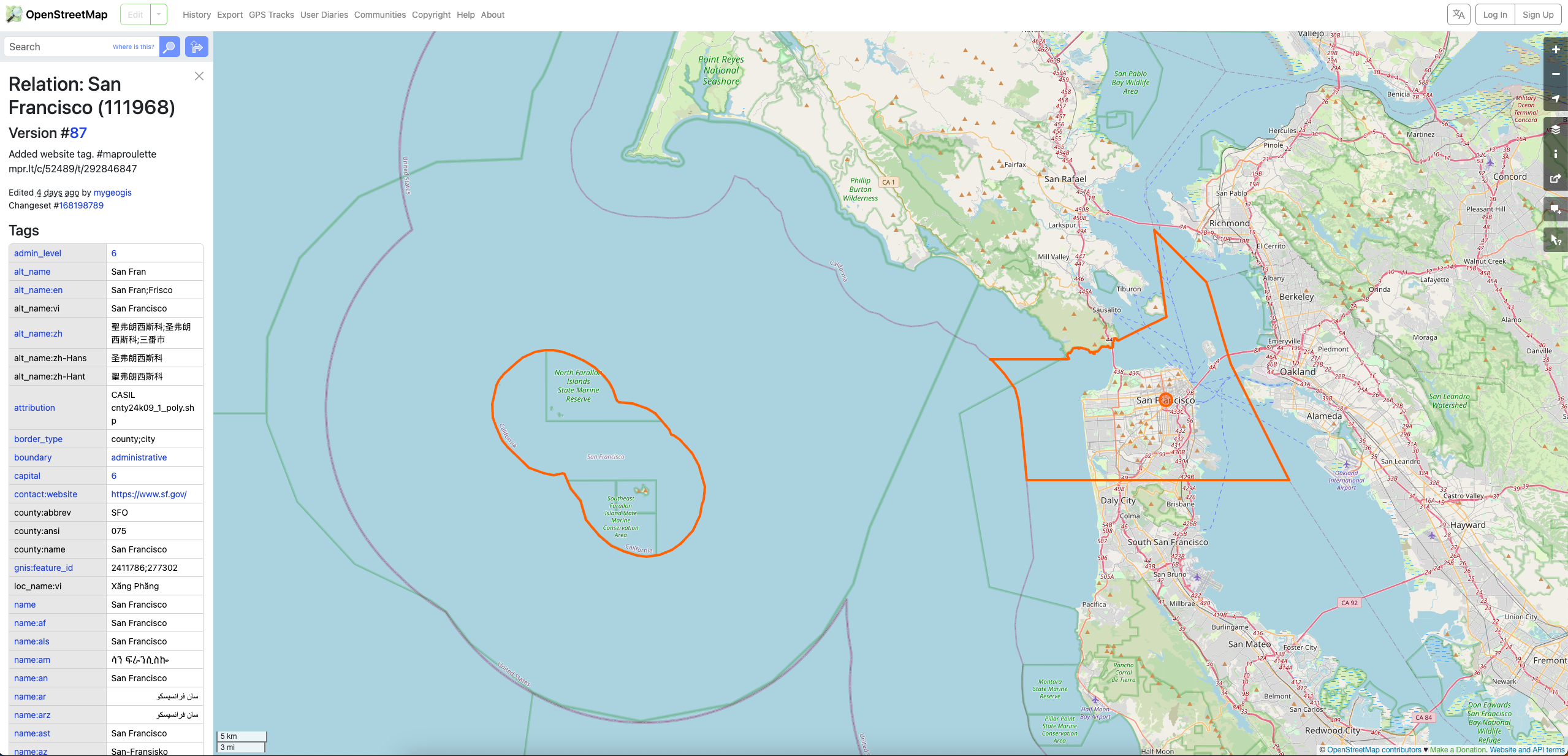
OpenStreetMap (OSM) is a free, open-source mapping platform that allows users to edit and contribute geographic data. Its collaborative nature has resulted a large dataset of roads, buildings, and points of interest.
“The community is everything in OpenStreetMap, because they’re the ones that create the data,” Steve Coast, Founder of OSM
OSM is widely used for routing, navigation, geocoding, and spatial analysis across mobility, real estate, and retail sectors. Its open and rich geographic data powers applications like ride-hailing, site selection, and offline travel maps, offering a cost-effective alternative to proprietary map services.
While OSM provides valuable resources, its data quality and granularity vary significantly by location, leading many organizations that typically require consistent data quality, standardized formats, and customer support, to explore alternative solutions.
Additionally, the level of detail can be astounding, from individual trees and trash bins to fire assembly points, which makes it sometimes more complicated to use for business applications.
Given the diverse range of mapping use cases, from geocoding and routing to spatial analysis and visualization, there are numerous alternatives to OpenStreetMap, spanning various categories. Among them are database providers, mapping tools, and development frameworks.
While we can’t cover every solution available, let’s explore some of the leading alternatives across various categories that can help overcome these challenges.
💡 GeoPostcodes delivers enterprise-grade location data sourced from over 1,500 official sources across 247 countries. Our standardized postal code databases eliminate data verification overhead and provide the reliability your business operations demand. Browse GeoPostcodes datasets and download a free sample here.
Alternatives to OpenStreetMap
Commercial Options
GeoPostcodes: GeoPostcodes offers standardized and verified location data, including geocoded zip codes, cities, and addresses, making it a valuable resource for global address validation, high-accuracy geocoding, logistics, supply chain optimization, and master data management. Their zip code and administrative boundaries can be used for market analysis, territory planning, or catastrophe modelling.
It offers a unified global structure with data from over 1,500 official sources and coverage of 247 countries, including complex countries such as China, Russia, and Brazil.
Mapbox: Mapbox is a dynamic mapping platform that offers developers extensive tools to create custom, interactive maps and location-based applications, mainly for automakers. It is renowned for its powerful APIs and SDKs, which enable deep customization and seamless integration into mobile and web applications.
Google Maps Platform: Google Maps Platform is a popular mapping solution offering broad country coverage and extensive features through its APIs. Its API includes address validation, geocoding, reverse geocoding, and place search.
It offers strong integration with other Google services and cost-effective entry pricing for low-volume usage. Its address validation API supports 40 countries. Because Google Maps Platform operates as a third-party API, performance depends on the API processing layer and service architecture. The response structure and configuration parameters are predefined, which limits how teams can shape the data outside the platform’s standard query patterns.
HERE Technologies: HERE is one of the leading providers for automakers. It offers a robust set of mapping and navigation solutions, particularly for applications that require offline maps and advanced navigation capabilities. The platform provides specialized features like truck routing, hazardous materials navigation, and fleet management tools designed for commercial operations.
HERE’s API delivery model gives teams control over the API response while providing limited access to the underlying reference data. Throughput and uptime depend on the API processing layer, which factors into capacity planning for high-volume integrations.

TomTom: TomTom provides high-quality maps, routing, and real-time traffic information through its mapping platform. The company utilizes “super sources” technology, which combines professional mapping with sensor data from connected vehicles and other sources, including probe data, GPS measurements, and mobile sensors.
TomTom’s services run through APIs with a predefined response structure and configuration parameters, so customization happens within the bounds the platform exposes.
SafeGraph: SafeGraph focuses on providing detailed Points of Interest (POI) data. The platform offers insights into consumer behavior, foot traffic patterns, and business location analytics.
SafeGraph centers on POI data with attributes such as brand, category, and visit patterns. It is a strong fit for retail site selection and market analysis, commercial real estate evaluation, consumer behavior research, and competitive intelligence.
Open Source Options
When seeking open-source alternatives to OpenStreetMap’s data, it’s important to distinguish between actual data alternatives and complementary tools that are often mistaken for alternatives.
Open Source Data Alternatives:
GeoNames: A comprehensive geographical database containing over 12 million of place names and geographic features worldwide. It provides structured data about countries, cities, postal codes, and administrative divisions, making it particularly valuable for toponyms and basic geographic reference applications.
GeoNames excels in worldwide coverage of place names and alternative names at a low cost, making it well-suited for projects that work with periodic updates. It is community-maintained and coverage depth, data structure and update frequency all vary by contributor and country.
Overture Maps: A collaborative initiative backed by major tech companies that provides high-quality, interoperable map data. Overture focuses on delivering structured, standardized geospatial datasets including places, buildings, transportation networks, and administrative boundaries.
The platform offers global coverage, regular updates, and comprehensive documentation, making it well-suited for building map services and location-based applications. Overture relies on OSM as one of its primary upstream data sources, so its datasets inherits the structure of that source.
Open Addresses: A global initiative that aggregates address data from open government sources and other public datasets. It’s useful for address validation, geocoding, and applications requiring address coverage in regions where official address data is publicly available.
It works well for address validation and geocoding in countries with strong open-data initiatives and transparent government address databases. Coverage spans the set of jurisdictions where open address data has been released, and the depth of coverage varies based on what each government publishes.
The project is funded in part by geocoding service providers, and contributor activity tends to follow the regions and data types that those sponsors prioritize.

Complementary Tools:
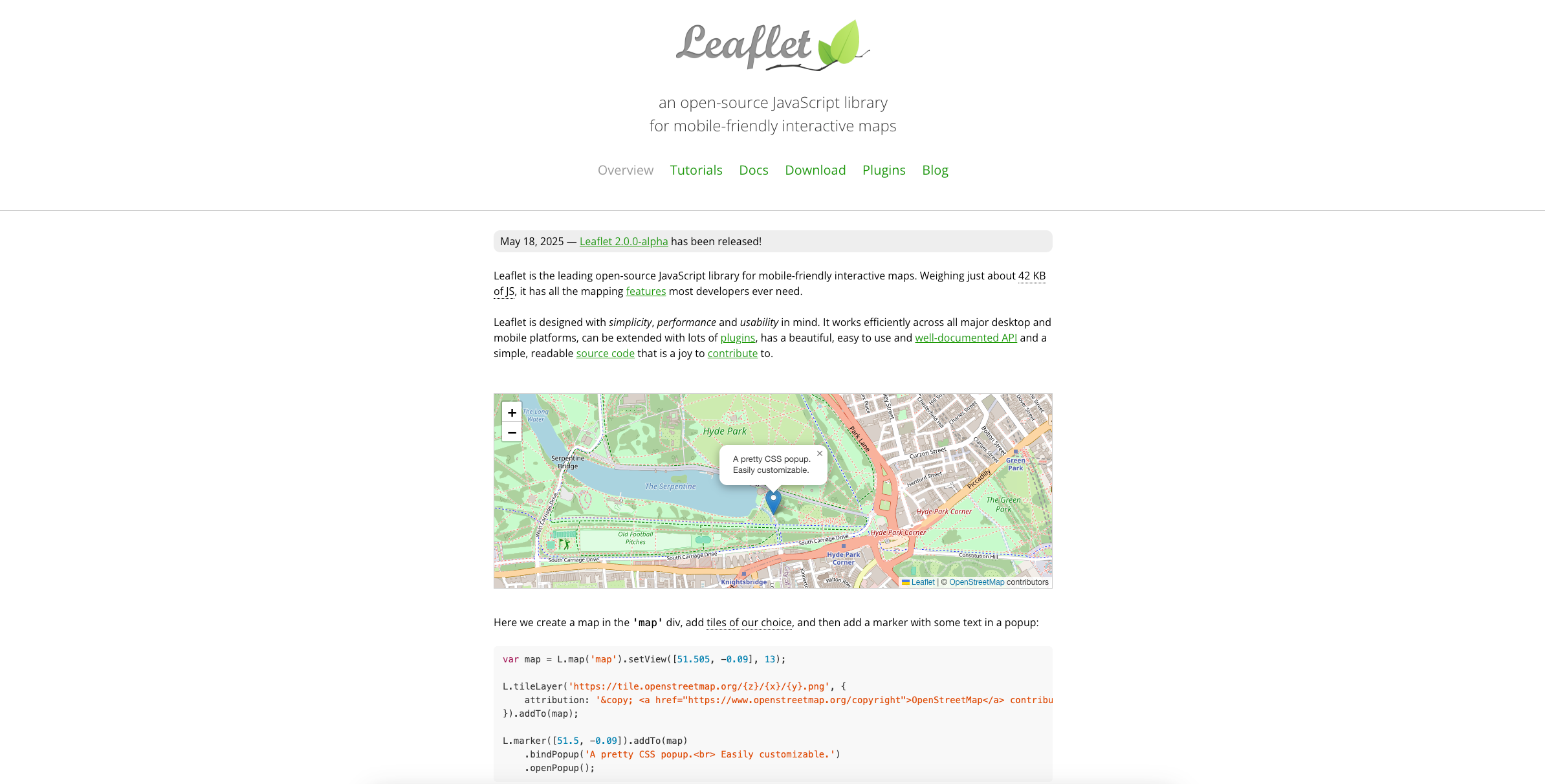
Leaflet: A JavaScript library for creating interactive maps that can display data from various sources, including OpenStreetMap. It’s a visualization tool that complements data sources rather than replacing them.
Leaflet excels in creating responsive, mobile-friendly interactive maps with customizable styling and plugin support, making it well-suited for web developers building location-based applications and prototypes. However, it does not bundle its own location data, so teams need to bring an external dataset, and advanced functionality typically comes from third-party plugins rather than built-in features. Implementation also requires JavaScript programming knowledge.
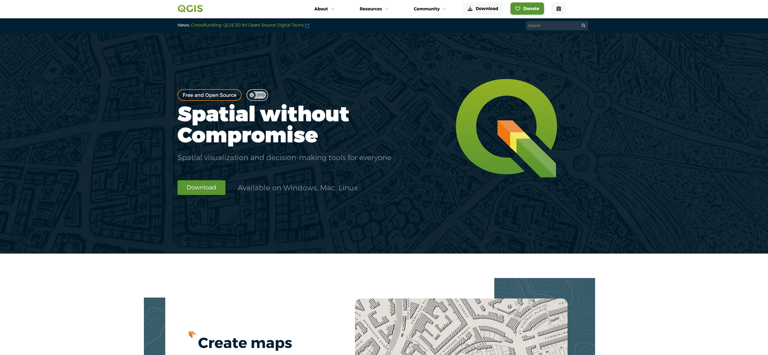
QGIS: Similarly, QGIS is an open-source Geographic Information System for analyzing and interpreting spatial data from multiple sources. Instead of a data alternative, it’s a powerful tool for working with OpenStreetMap data and other geospatial datasets.
QGIS is well-suited for GIS professionals and organizations needing advanced spatial analysis and map creation through open-source software, particularly suitable for academic and government sectors. However, it has a learning curve that requires technical GIS expertise, can be resource-intensive when working with very large datasets, and offers a less polished interface than commercial GIS alternatives.
These complementary tools are valuable for processing and visualizing geospatial data, but require underlying data sources to function effectively.
Key Considerations When Choosing OSM Alternatives
Data Accuracy, Timeliness, and Completeness: Evaluate the data quality and consistency across your target countries, and assess whether the provider offers robust data validation processes. Consider the update frequency and how quickly changes in the real world are reflected in the database.
Documentation & Support: Assess the level of technical documentation, API references, and customer support available for implementation and troubleshooting. Community-driven projects rely on forums and collaborative support; some commercial providers offer access to documentation only, while others provide full, dedicated technical assistance.
Delivery Model: Consider whether you want an API access or a self-hosted database. While APIs offer real-time access and easy implementation, self-hosted solutions provide better control over data processing and security. It can also be more cost-effective for high-volume usage, although it requires more technical expertise to implement.
Data Structure: Examine how consistently data is formatted across different regions and whether the level of standardization meets your application requirements. OSM’s crowdsourcing approach can lead to inconsistencies that necessitate significant normalization efforts.
Licencing: Use OSM only if you are fine with their Creative Commons Attribution license, which concretely means crediting OSM in your application.
Cost: Be mindful of the total cost of ownership, and select the right provider according to your budget. While open-source data is free to use, you need to consider the costs associated with using it, which may ultimately be higher than those of some commercial providers offering custom datasets and implementation support. While an API is faster to implement and cheaper for low volumes, self-hosted solutions may have higher implementation costs, but they offer predictable costs.
Conclusion and Future Directions
In conclusion, OpenStreetMap is a valuable resource for mapping solutions, offering free and editable map data. The collaborative project has created an impressive dataset – “The Wikipedia of maps,” as Steve Coast says – that continues to grow through community contributions and innovative data sourcing approaches.
However, it has clear limitations for business use that can be solved using the right alternative, depending on your needs. In particular, business applications often require consistent quality, standardized formats, and expert support, which they will find with reliable enterprise providers.
For more than 15 years, GeoPostcodes has offered enterprise-grade postal code databases from over 1,500 official sources worldwide. Our standardized, accurate location data eliminates the quality concerns and processing overhead associated with OpenStreetMap implementations. Browse our databases for free or request a quote to discover why Fortune 500 businesses choose GeoPostcodes instead of OpenStreetMap.
FAQ
What is better than OpenStreetMap?
Commercial alternatives such as GeoPostcodes offer verified geospatial data in standardized formats, with dedicated support and direct control over the dataset, well-suited for enterprise applications that need reliable, consistently structured geographic coordinates.
What is the open-source alternative to Street View?
OpenStreetMap community contributors can define and explore street-level imagery by integrating platforms, although no direct equivalent exists as a default open-source alternative to Street View.
Is Mapbox better than OpenStreetMap?
Mapbox provides commercial geospatial data with enhanced control and support, while OpenStreetMap data remains free. The answer depends on specific categories of use cases and requirements.
How do technical challenges with OpenStreetMap API implementation compare to commercial alternatives?
Building on OpenStreetMap’s API typically involves working directly with raw geospatial data, vector tiles, and tagging conventions, which assumes a level of GIS and geospatial development experience on the team. While OpenStreetMap remains a valuable open-source project, commercial providers can respond quicker to integration challenges and generate reliable solutions, which shortens the path from integration to production for teams that prefer a managed service model.
What should businesses review when choosing mapping solutions?
Licensing, data quality, and update frequency are the main factors. OpenStreetMap operates under a Creative Commons license that requires attribution, while commercial solutions typically offer flexible commercial licensing options. On data, businesses should look at coverage breadth, completeness, refresh frequency, and how well the data is standardized across language regions. Commercial providers like GeoPostcodes deliver curated, standardized data sourced from official postal and administrative authorities, designed for enterprise integration.
How to evaluate mapping solutions for enterprise applications?
GIS professionals must weigh several factors when selecting mapping data for enterprise use: data quality, licensing, delivery model, integration cost, and ongoing maintenance. Open-source data is free at the source but typically calls for in-house effort on data cleaning, validation, and pipeline upkeep. Location data providers like GeoPostcodes deliver curated, standardized data with dedicated support, which can streamline implementation and free engineering time for the application logic itself.
What alternatives exist to OpenStreetMap for address data?
GeoPostcodes offers a curated postal address validation database with verified, standardized address data.
Where can I find validated US address data?
GeoPostcodes provides a comprehensive America address list with validated, postal-standard addresses.
Is there a global alternative to OSM for addresses?
Yes, GeoPostcodes’ world postal code database offers validated address data for countries worldwide.