Market Research
and Panelists

Validate Respondents Location
Instantly verify and autocomplete ZIP codes, cities, and regions at entry to reduce drop-offs, qualify respondents, and match them to survey requirements.

Comply with Global Regulations
Conform to GDPR and privacy laws by collecting partial ZIP codes. Map respondents to their corresponding regions based on ZIP prefixes, and maintain geographic targeting precision.

Perform Detailed Analysis
Run cross-country survey analysis by mapping ZIP codes to cities and administrative divisions using a global standardized hierarchy.

Built for Accurate, Scalable Market Research
We combine trusted sources, expert guidance, and worldwide coverage to meet your panelist and survey data needs.

Sourced from 1,500+ authoritative providers, including postal operators and official government sources.

With 15 years of experience, we guide your implementation and deliver data in the format that fits your system.

ZIP code, cities and administrative levels data across 247 countries, including hard-to-source geographies.
Trusted by industry leaders
Join more than 100 enterprise clients who trust GeoPostcodes for their location data
Anjo Grebe
Consultant

Dr. Peter Wild
Managing Partner

Kousha Mazloumi
Director of Data Science

Kousha Mazloumi
Director of Data Science

William Chao
Product Owner of Geographic Information Services

Kate Kilby
Senior Product Manager

Dave Hamm
Project Manager


Kavian Ranjbar
Data Governance Specialist

Nick Beaugié
Senior Software Engineer
Ensure Reliable Mapping
Every ZIP code includes verified coordinates for seamless mapping. Visualize regional trends and respondent clusters using tools like Tableau, Power BI, SAP BW, or Oracle BW.

Target the Right Participants
Optimize your panel recruitment and fill survey quotas with precise ZIP code targeting. Use our population data to reach the right people, even in underserved areas.

Improve User Experience
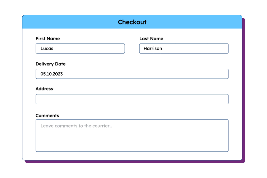
Reduce respondents’ effort with address autocomplete powered by accurate ZIP code data and dedicated features, ensuring standardized entries and a best-in-class user experience.
Our selection for Market Research and Panelists Organizations


")