Address database > Western Europe street names > Germany street names
Germany street names database
Sample dataset Germany
| ISO | COUNTRY | LANGUAGE | STREET NAME | ZIP CODE | LOCALITY | LATITUDE ? | LONGITUDE ? | REGION 1 | REGION 2 | REGION 3 | REGION 4 | TIMEZONE |
|---|---|---|---|---|---|---|---|---|---|---|---|---|
| DE | Deutschland | DE | Abram-Joffe-Straße | 12489 | Berlin | 52.433342 | 13.529373 | Berlin | N/A | Berlin | N/A | Europe/Berlin |
| DE | Deutschland | DE | Abtstraße | 12489 | Berlin | 52.435282 | 13.542858 | Berlin | N/A | Berlin | N/A | Europe/Berlin |
| DE | Deutschland | DE | Adlergestell | 12489 | Berlin | 52.435249 | 13.542050 | Berlin | N/A | Berlin | N/A | Europe/Berlin |
| DE | Deutschland | DE | Albert-Einstein-Straße | 12489 | Berlin | 52.429434 | 13.534251 | Berlin | N/A | Berlin | N/A | Europe/Berlin |
| DE | Deutschland | DE | Alexander-von-Humboldt-Weg | 12489 | Berlin | 52.434454 | 13.525396 | Berlin | N/A | Berlin | N/A | Europe/Berlin |
| DE | Deutschland | DE | Altheider Straße | 12489 | Berlin | 52.437190 | 13.542249 | Berlin | N/A | Berlin | N/A | Europe/Berlin |
| DE | Deutschland | DE | Am Adlergestell | 12489 | Berlin | 52.438200 | 13.538732 | Berlin | N/A | Berlin | N/A | Europe/Berlin |
| DE | Deutschland | DE | Am Studio | 12489 | Berlin | 52.429598 | 13.541486 | Berlin | N/A | Berlin | N/A | Europe/Berlin |
| DE | Deutschland | DE | Anna-Seghers-Straße | 12489 | Berlin | 52.436838 | 13.542176 | Berlin | N/A | Berlin | N/A | Europe/Berlin |
| DE | Deutschland | DE | Arndtstraße | 12489 | Berlin | 52.488219 | 13.396605 | Berlin | N/A | Berlin | N/A | Europe/Berlin |
| DE | Deutschland | DE | Barbara-McClintock-Straße | 12489 | Berlin | 52.432760 | 13.522819 | Berlin | N/A | Berlin | N/A | Europe/Berlin |
| DE | Deutschland | DE | Bärdorfer Zeile | 12489 | Berlin | 52.444048 | 13.555399 | Berlin | N/A | Berlin | N/A | Europe/Berlin |
| DE | Deutschland | DE | Bendemannstraße | 12489 | Berlin | 52.427834 | 13.524648 | Berlin | N/A | Berlin | N/A | Europe/Berlin |
| DE | Deutschland | DE | Bernstadter Weg | 12489 | Berlin | 52.449213 | 13.556531 | Berlin | N/A | Berlin | N/A | Europe/Berlin |
| DE | Deutschland | DE | Berta-Waterstradt-Straße | 12489 | Berlin | 52.432855 | 13.553321 | Berlin | N/A | Berlin | N/A | Europe/Berlin |
| DE | Deutschland | DE | Bohrauer Pfad | 12489 | Berlin | 52.446067 | 13.555419 | Berlin | N/A | Berlin | N/A | Europe/Berlin |
| DE | Deutschland | DE | Bölkowstraße | 12489 | Berlin | 52.437893 | 13.547550 | Berlin | N/A | Berlin | N/A | Europe/Berlin |
| DE | Deutschland | DE | Büchnerweg | 12489 | Berlin | 52.436182 | 13.555952 | Berlin | N/A | Berlin | N/A | Europe/Berlin |
| DE | Deutschland | DE | Carl-Julius-Vogel-Straße | 12489 | Berlin | 52.437893 | 13.547550 | Berlin | N/A | Berlin | N/A | Europe/Berlin |
| DE | Deutschland | DE | Carl-Scheele-Straße | 12489 | Berlin | 52.430296 | 13.525900 | Berlin | N/A | Berlin | N/A | Europe/Berlin |
| DE | Deutschland | DE | Dörpfeldstraße | 12489 | Berlin | 52.438738 | 13.550692 | Berlin | N/A | Berlin | N/A | Europe/Berlin |
| DE | Deutschland | DE | Eigenheimgasse | 12489 | Berlin | 52.438891 | 13.539272 | Berlin | N/A | Berlin | N/A | Europe/Berlin |
| DE | Deutschland | DE | Erich-Thilo-Straße | 12489 | Berlin | 52.432753 | 13.532297 | Berlin | N/A | Berlin | N/A | Europe/Berlin |
| DE | Deutschland | DE | Ernst-Augustin-Straße | 12489 | Berlin | 52.431989 | 13.542027 | Berlin | N/A | Berlin | N/A | Europe/Berlin |
| DE | Deutschland | DE | Ernst-Lau-Straße | 12489 | Berlin | 52.432806 | 13.522761 | Berlin | N/A | Berlin | N/A | Europe/Berlin |
| DE | Deutschland | DE | Ernst-Ruska-Ufer | 12489 | Berlin | 52.426058 | 13.544918 | Berlin | N/A | Berlin | N/A | Europe/Berlin |
| DE | Deutschland | DE | Florian-Geyer-Straße | 12489 | Berlin | 52.439635 | 13.541907 | Berlin | N/A | Berlin | N/A | Europe/Berlin |
| DE | Deutschland | DE | Franz-Ehrlich-Straße | 12489 | Berlin | 52.433534 | 13.540081 | Berlin | N/A | Berlin | N/A | Europe/Berlin |
| DE | Deutschland | DE | Freystadter Weg | 12489 | Berlin | 52.444399 | 13.557836 | Berlin | N/A | Berlin | N/A | Europe/Berlin |
| DE | Deutschland | DE | Friedenstraße | 12489 | Berlin | 52.436329 | 13.546991 | Berlin | N/A | Berlin | N/A | Europe/Berlin |
| DE | Deutschland | DE | Friedlander Straße | 12489 | Berlin | 52.445192 | 13.552442 | Berlin | N/A | Berlin | N/A | Europe/Berlin |
| DE | Deutschland | DE | Friedrich-Wöhler-Straße | 12489 | Berlin | 52.429052 | 13.522633 | Berlin | N/A | Berlin | N/A | Europe/Berlin |
| DE | Deutschland | DE | Gellertstraße | 12489 | Berlin | 52.602448 | 13.442450 | Berlin | N/A | Berlin | N/A | Europe/Berlin |
| DE | Deutschland | DE | Gemeinschaftsstraße | 12489 | Berlin | 52.440139 | 13.542354 | Berlin | N/A | Berlin | N/A | Europe/Berlin |
| DE | Deutschland | DE | Genossenschaftsstraße | 12489 | Berlin | 52.440464 | 13.544412 | Berlin | N/A | Berlin | N/A | Europe/Berlin |
| DE | Deutschland | DE | Georg-Schendel-Straße | 12489 | Berlin | 52.436861 | 13.531678 | Berlin | N/A | Berlin | N/A | Europe/Berlin |
| DE | Deutschland | DE | Glienicker Weg | 12489 | Berlin | 52.433609 | 13.556888 | Berlin | N/A | Berlin | N/A | Europe/Berlin |
| DE | Deutschland | DE | Groß-Berliner Damm | 12489 | Berlin | 52.434657 | 13.532239 | Berlin | N/A | Berlin | N/A | Europe/Berlin |
| DE | Deutschland | DE | Gustav-Kirchhoff-Straße | 12489 | Berlin | 52.429138 | 13.534421 | Berlin | N/A | Berlin | N/A | Europe/Berlin |
| DE | Deutschland | DE | Hackenbergstraße | 12489 | Berlin | 52.439426 | 13.547620 | Berlin | N/A | Berlin | N/A | Europe/Berlin |
| DE | Deutschland | DE | Handjerystraße | 12489 | Berlin | 52.471295 | 13.333167 | Berlin | N/A | Berlin | N/A | Europe/Berlin |
| DE | Deutschland | DE | Hans-Schmidt-Straße | 12489 | Berlin | 52.435014 | 13.534426 | Berlin | N/A | Berlin | N/A | Europe/Berlin |
| DE | Deutschland | DE | Havestadt-Platz | 12489 | Berlin | 52.426248 | 13.536069 | Berlin | N/A | Berlin | N/A | Europe/Berlin |
| DE | Deutschland | DE | Helbigstraße | 12489 | Berlin | 52.439494 | 13.546034 | Berlin | N/A | Berlin | N/A | Europe/Berlin |
| DE | Deutschland | DE | Helmut-Brenner-Straße | 12489 | Berlin | 52.437893 | 13.547550 | Berlin | N/A | Berlin | N/A | Europe/Berlin |
| DE | Deutschland | DE | Hermann-Dorner-Allee | 12489 | Berlin | 52.427306 | 13.520148 | Berlin | N/A | Berlin | N/A | Europe/Berlin |
| DE | Deutschland | DE | Hoffmannstraße | 12489 | Berlin | 52.441288 | 13.549397 | Berlin | N/A | Berlin | N/A | Europe/Berlin |
| DE | Deutschland | DE | Hollstraße | 12489 | Berlin | 52.441073 | 13.541890 | Berlin | N/A | Berlin | N/A | Europe/Berlin |
| DE | Deutschland | DE | Husstraße | 12489 | Berlin | 52.439847 | 13.539118 | Berlin | N/A | Berlin | N/A | Europe/Berlin |
| DE | Deutschland | DE | James-Franck-Straße | 12489 | Berlin | 52.429381 | 13.521805 | Berlin | N/A | Berlin | N/A | Europe/Berlin |
Showing 50 records for Germany
Germany address formats
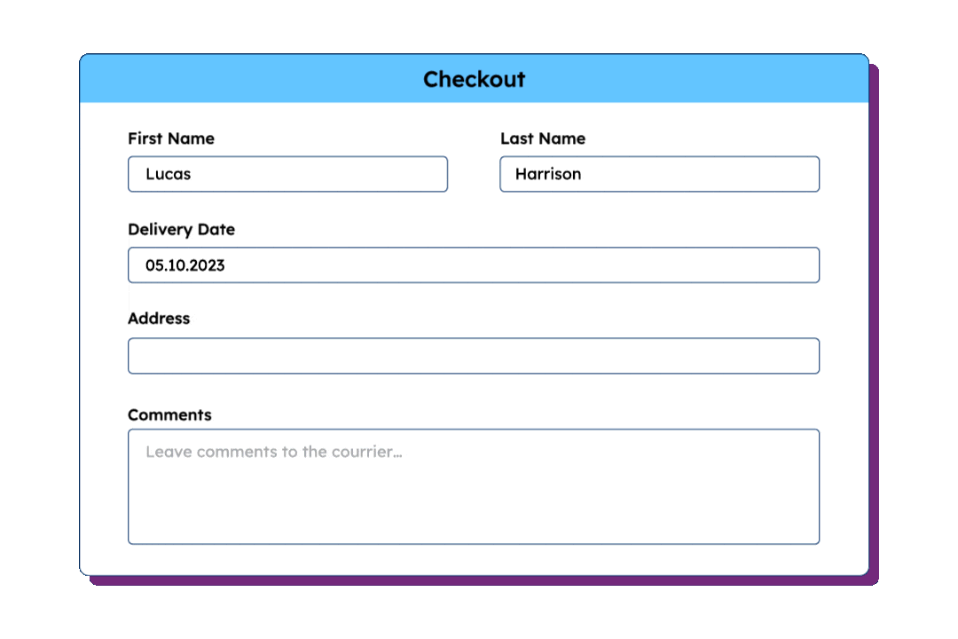
Germany utilizes a five-digit numeric postal code system known as Postleitzahl (PLZ), which is placed before the city name. Standard addresses follow a specific sequence starting with the recipient’s name, followed by the street name and house number, and then the postal code and locality. It is essential that the recipient’s name is clearly marked on the physical mailbox at the delivery location, as mail is often delivered based on the name rather than a specific apartment number.
Address Format
Typical address components include:
- Addressee
- Sub-locality / organisation / service line (optional)
- Street + house number OR Postfach / Postlagernd / Packstation
- POSTCODE LOCALITY
- GERMANY
Administrative Hierarchy Used
- States (Länder)
- Counties (Regierungsbezirke)
- District-free towns (Kreisfreien Städte)/Districts (Landkreise)
- Gemeindeverband
Management & Authority
The primary postal authority for Germany is Deutsche Post
Special characteristics
Leading digits define postal routing zones (Leitbereiche) rather than federal states. Dedicated PLZ ranges exist for PO Boxes (Postfächer) and large-volume recipients. One PLZ may span multiple municipalities, and municipalities may have multiple PLZ, especially in urban areas.
Our location dataset for Germany
Germany ZIP Codes
Germany ZIP & Administrative boundaries
Germany Administrative Divisions
The database follows a standardized and unified structure you can integrate without becoming an expert in each country’s unique administrative hierarchy.
Germany Address Format
Germany Address Validation

Standardized across geographies

Multi-language support

Global city definitions
Keep your address data clean and reliable
Clean addresses at input
GeoPostcodes’ global reference data helps companies capture accurate and standardized addresses at the point of entry. Ensure each new address follows official postal standards and regional formatting rules.
Validate addresses post-entry
GeoPostcodes’ validation dataset lets organizations verify and correct existing addresses. Each record is cross-checked with authoritative postal sources to fix errors and ensure global consistency.

Perform bulk address validation
Validate entire lists of addresses at once with GeoPostcodes reference data. Clean large datasets efficiently, correct errors in bulk, and ensure your records remain reliable and consistent.

Geocoding

Available File Formats
Comma-separated values for
spreadsheet applications and data analysis tools
JavaScript Object Notation for
web applications and modern development

Extensible Markup Language for enterprise systems and legacy applications

Database-ready SQL scripts for
direct import into your systems
Data Dictionary
| Field name | Description | Field type |
|---|---|---|
| ISO | ISO 3166-1 country code | Char(2) |
| Country | Country name | Char(50) |
| Language | Language code | Char(2) |
| ID | Record identifier | Integer |
| Street | Full street name | Char(100) |
| Postcode | ZIP / Postal code | Char(15) |
| Locality | Locality name | Char(80) |
| Latitude | Latitude of the center of the street (WGS84 coordinates) | Double |
| Longitude | Longitude of the center of the street (WGS84 coordinates) | Double |
| Region 1 | Administrative division level 1 | Char(80) |
| Region 2 | Administrative division level 2 | Char(80) |
| Region 3 | Administrative division level 3 | Char(80) |
| Region 4 | Administrative division level 4 | Char(80) |
| Suburb | Locality subdivision | Char(80) |
| Elevation | Elevation in meters | Integer |
| ISO2 | ISO 3166-2 region code | Char(10) |
| FIPS | NGA geopolitical code (formerly FIPS PUB 10-4) | Char(10) |
| NUTS | European statistical division code | Char(12) |
| HASC | Hierarchical administrative subdivision code | Char(12) |
| STAT | National statistics/census code | Char(20) |
| Timezone | Time zone name (Olson) | Char(30) |
| UTC | Standard time expressed as an offset with respect to UTC | Char(10) |
| DST | Daylight saving time expressed as an offset with respect to UTC | Char(10) |
| locality_type | Type of place, ‘town’ or ‘business’ | Char(20) |
| is_postal | Whether the postal code is used for regular mail | Integer |
| is_business | Whether the postal code is used for businesses | Integer |
| is_po_box | Whether the postal code is used for PO Boxes | Integer |
| post_town | Postal Town (e.g. USPS recommended city) | Char(80) |
Why choose GeoPostcodes

Global coverage
Complete coverage across 247 countries, including hard-to-source geographies like China, Japan, Brazil, and Russia.

Highest quality
Built on extensive, authoritative sourcing with robust data engineering and quality control. Standardized and up-to-date.

Expert Consulting
With 15 years of experience, we guide your implementation and deliver data in the format that fits your system.
Global Location Databases
Comprehensive location data products serving businesses, and
organizations worldwide with accurate, up-to-date geographic information.

Postal Code Database
Global dataset containing all administrative divisions, cities and ZIP codes.
Explore postal code databaseKey features
- 247 Countries
- 9,9M Coordinates
- 9,3M ZIP codes
- 400 Time zones
- 4M Cities and Towns
- 116K UNLOCODES
Specifications
- Coverage: Global
- Format: CSV, ASC, DAT, GML, GeoJSON, KML, Shapefile (SHP)

Address Database
International dataset with all administrative areas, cities, ZIP codes, streets, and house numbers.
Explore address databaseKey features
- 81 Countries
- 299 languages
- 26,5M streets
- 400 time zones
- 9.3M ZIP codes
- 4M cities
Specifications
- Coverage: International
- Format: CSV, ASC, DAT, GML, KML, Shapefile (SHP), GeoJSON

Boundary Data
A global dataset of polygons representing ZIP codes and administrative areas.
Explore boundaries databaseKey features
- 247 Countries
- Up to 6 levels
- 1,7M boundaries
- High-precision
- 245K Admin areas
- Visualization
Specifications
- Coverage: Global
- Format: GeoJSON, Geopackage, KML, Shapefile (SHP)

Population Database
Global population estimates at postal code and administrative level covering a span of 55 years: past, present, and future.
Explore population databaseKey features
- 247 Countries
- 243K Admin areas
- 55 year span
- Yearly updates
- 645K ZIP codes
Specifications
- Coverage: International
- Format: CSV, ASC
Use cases for the international address database

Address Validation

Address autocomplete

Logistics and shipping

E-commerce

Fraud detection

Marketplaces
Global Streets Coverage
247 countries and territories with standardized formatting and reliable geographic information.