
Introduction
Known as ZIP Codes, they’re not just a tool for sorting mail but an integral part of the United States Postal Service (USPS) system, pinpointing exact locations nationwide. These codes boast a rich history, a strategic structure, and a profound effect on society and the economy.
In our exploration, we’ll delve into the essentials of ZIP Codes: their purpose, structure, and impact. Understanding how ZIP codes work can simplify various tasks, from mailing a letter to online purchases and financial transactions.
💡 For over 15 years, we have created the most comprehensive worldwide zip code database. Our location data is updated weekly, relying on more than 1,500 sources. Browse GeoPostcodes datasets and download a free sample here.
The Genesis and Evolution of ZIP Codes
We’ll journey through the origin and progression of ZIP Codes, from early systems to the sophisticated version we know today. Discover how these codes have revolutionized mail processing and delivery within the U.S.
The Birth of Postal Codes
Postal codes were not an American original, as numerous countries had adopted similar systems to streamline mail handling, starting in London in 1857. The United States, facing a burgeoning population and a spike in mail following World War II, realized the need for its code system.
From Postal Zones to ZIP Codes
The precursor of today’s ZIP Codes was the postal zone system, initiated in 1943 by the U.S. Post Office Department (USPOD) during a wartime shortage of experienced postal workers. Cities were given a one or two-digit number (e.g., ‘Minneapolis 16, Minnesota’), assisting novice clerks in mail sorting without exhaustive training.
Yet, the postwar mail volume and complexity boom demanded a more refined method. By the 1960s, the USPOD conceived the ZIP Code, officially launched on July 1, 1963, as part of the Zone Improvement Plan, to enhance the zoning system and ease public use.
The ZIP Code Revolution
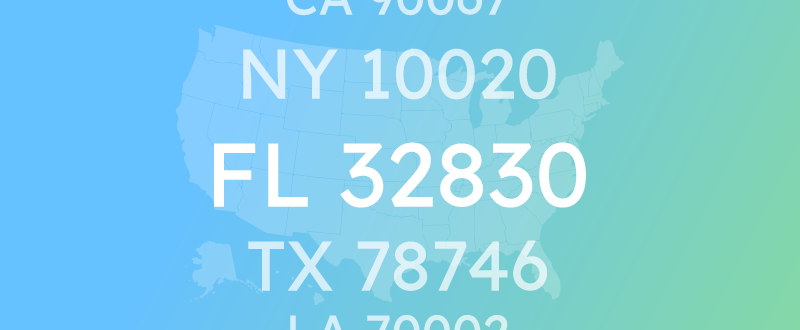
The introduction of ZIP Codes marked a radical change in U.S. mail sorting and delivery. The five digits of a ZIP Code define precise geographic sectors; the first digit designates the region, the second and third digits the sectional center facility (SCF), and the last two specify the local post office or delivery zone. For instance, 55516 symbolizes Minneapolis, Minnesota, with SCF 55 within delivery area 416.
The introduction of the ZIP Code system revolutionized how mail was sorted in the United States. Instead of relying on manual sorting, the system enabled automated processes that greatly reduced the time and expense associated with mail handling. The U.S. Post Office Department, known today as USPS, launched a widespread campaign to encourage the public’s usage of ZIP Codes.
This memorable campaign featured the lively Mr. ZIP mascot and catchy taglines like “Mail moves the country/; ZIP Code moves the mail.” The initiative was a resounding success, leading to widespread adoption of ZIP Codes by businesses, government entities, and private citizens, cementing its role as a crucial element of national postal addresses.

Deciphering the Digits: The Anatomy of a ZIP Code
This part of our discussion will demystify the ZIP Code, guiding you from the basic five-digit structure to the more detailed ZIP+4 format. Moreover, we’ll look at some special codes and exceptions that stand out from the regular format.
The Five-Digit ZIP Codes: A Geographical Hierarchy
At its core, a ZIP Code comprises five digits that pinpoint a certain geographic region within the U.S. These numbers follow a logical, hierarchical order:
- The initial digit represents a region or group of states, with ten regions mapped from 0 to 9. These begin in the Northeast and move clockwise across the country\/. For instance, 0 is for the Northeast, 5 is for the South, and 9 is for the West.
- The subsequent second and third digits pinpoint the sectional center facility (SCF), a mail processing center serving multiple post offices within a region. The U.S. has approximately 900 SCFs, each bearing a distinct two-digit identifier. For example, 55 denotes the SCF based in Minneapolis, Minnesota.
- The final two digits, the fourth and fifth, identify the local post office or delivery area. The country/ has around 40,000 such zones, each uniquely coded by two digits. For instance, 16 signifies a particular delivery area in Minneapolis, Minnesota, covered by SCF 55.
Thus, the ZIP Code 55516 represents Region 5 (South), the SCF 55 (Minneapolis, Minnesota), and the local post office or delivery area 16 (Minneapolis, Minnesota).
Extending the Code: The ZIP+4 System
In 1983, the USPS introduced a more granular system called ZIP+4, adding four extra digits to the standard five, with a hyphen in between. The purpose? To narrow down a location within a delivery zip code area, possibly to a specific street, building, floor, or apartment suite. Let’s break these numbers down:
- The original five digits remain unchanged, denoting the region, SCF, and post office or delivery area, just like our earlier example, 55516.
- The sixth and seventh digits define a delivery sector, a smaller geographic entity within a delivery area—a city block, street cluster, or a substantial structure.
- The eighth and ninth digits pinpoint a delivery segment, a more precise location within the sector, such as one side of the street, a specific floor in a building, or a distinct apartment.
Hence, the full ZIP Code (ZIP+4 code) 55516-1234 specifically designates the region 5 (South), the SCF 55 (Minneapolis, Minnesota), the post office or delivery area 16, the delivery sector 12, and the delivery segment 34.
Special ZIP Codes and Exceptions
Though the majority of ZIP Codes adhere to the basic format previously outlined, there are exceptions and unique cases that break away from this pattern. Here are some notable deviations:
- Specific ZIP Codes are earmarked for particular uses like military or diplomatic services. These have distinctive prefixes, for example, APO (Army Post Office), FPO (Fleet Post Office), or DPO (Diplomatic Post Office). An instance is the military ZIP Code APO AE 09354 for Army Post Office Europe or FPO AP 96606 for Fleet Post Office Pacific.
- Certain ZIP Codes are designated for single, high-traffic addresses, like major corporations or government entities. Known as unique ZIP Codes, they typically share the same SCF and post office codes as nearby ZIP Codes but differ in the fourth and fifth digits. For instance, the CIA in Washington, D.C. uses the unique ZIP Code 20505.
- ZIP Codes can also span multiple post offices or delivery zones, often in rural or remote locations. These are referred to as post office box ZIP Codes and share region and SCF codes with adjacent ZIP Codes, though their post office codes vary. For instance, 99750 is the post office box for Kivalina, Alaska, and is linked with Teller, Alaska’s 99778.
These particularities represent some of the special scenarios you might encounter whilst navigating the ZIP Code system. Nonetheless, most ZIP Codes conform to the standard structure and are comprehensible through the earlier rules.
The Socioeconomic Ripple Effects of ZIP Codes
Now, let’s explore how ZIP Codes, beyond simplifying mail delivery, have helped shape elements of societal and economic landscapes, influencing everything from business strategies to community dynamics and digital interactions.
ZIP Codes in Marketing and Business
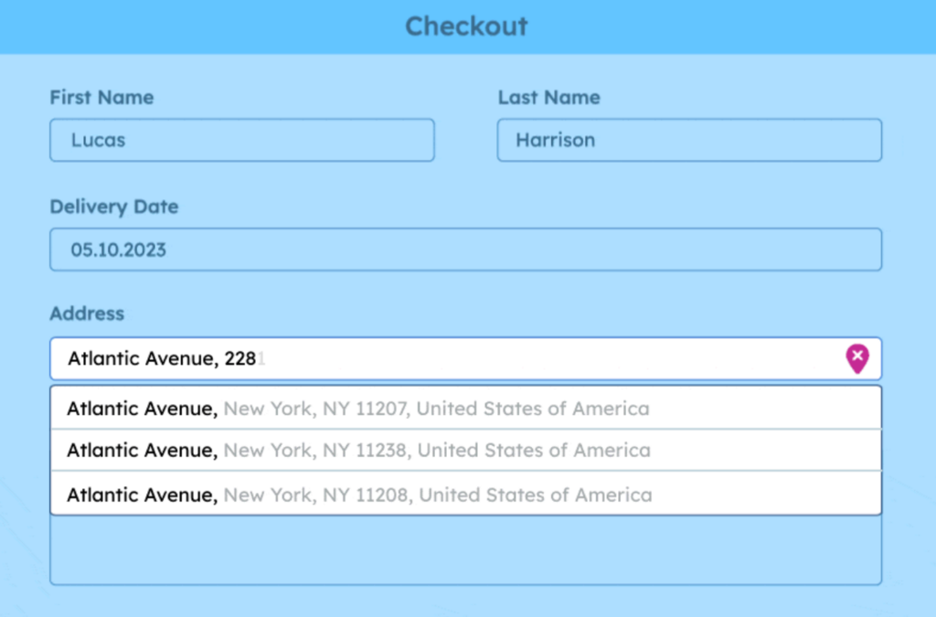
ZIP Codes supply crucial insights for business owners and marketers by shedding light on demographic, financial, and behavioral patterns of possible consumers. Businesses utilize ZIP Codes for market segmentation, customizing offerings, and refining pricing and promotional tactics. Retailers might choose new store locations based on residents’ income levels and shopping preferences in different ZIP Codes. E-commerce merchants provide address autocomplete when a customer enters address information to reduce the risk of manual input errors.
Financial institutions vary their loan terms by assessing the creditworthiness of individuals within each region. Restaurants even curate menus in response to the dietary habits and preferences revealed by ZIP Code data.
Supply chain companies use zip code data for address validation to make sure there is no error before delivering a package. Postal codes are vital for collecting and studying data. Businesses use them to display information on maps, like sales per ZIP code or assessing risks for insurance. They rely on administrative boundary databases to understand which areas correspond to specific ZIP codes.
If you’re looking to discover more ways to leverage ZIP code data for enhanced business insights and efficiency, explore how to add geocoded ZIP codes to Salesforce, ensure accuracy with address validation in Microsoft Dynamics 365, create impactful visuals by mapping ZIP codes in Tableau, and optimize logistics by calculating distances between ZIP codes using Python.
ZIP Codes and Community Identity
ZIP Codes do more than determine geographic spots—they echo their inhabitants’ cultural, social, and even political truths. They’re symbols of community identity and sources of neighborhood pride. Whether it’s the affluence associated with 90210 in Beverly Hills, the historical resonance of 20001 in Washington, D.C., or the political ethos embodied by 78704 in South Austin, ZIP Codes can be powerful emblems of the places they represent.
The Digital Age: ZIP Codes in Online Services and Data Analysis
In the realm of digital services and analytics, ZIP Codes are invaluable. They enable tailored content, enhance user experience, and provide data for insightful analysis. Search engines can display local businesses and events, streaming platforms personalize show recommendations, and health apps glean insights into public health trends—all made possible through ZIP Code data.
Conclusion
Throughout this article, we’ve taken a comprehensive look at ZIP Codes—their creation, function, and far-reaching effects on our society and economy. From streamlining postal services to influencing business strategies, from affirming community identities to enhancing online experiences, ZIP Codes are more than mere numerical sequences; they’re vital tools for organization and connection in our world.
GeoPostcodes has the most precise zip code database worldwide. We also provide postal and administrative boundaries for all countries. If you need a zip code map, our technology allows us to deliver simplified shapes that perfectly match without gaps or overlaps. Download a free sample of our zip code data.
What is the best source of ZIP code data?
GeoPostcodes provides the most comprehensive global location database. It contains ZIP codes, cities, addresses, boundaries, and population data covering 247 countries, including hard-to-source countries like China, Japan, and Brazil. We deliver high-quality data through standardized, up-to-date datasets curated from over 1,500 authoritative sources.
With 15 years of experience, GeoPostcodes provides expert consulting to ensure seamless implementation in your systems. Our self-hosted solution offers complete control over the data, ensuring security, compliance, and performance at a fixed cost.
Fortune 500 companies such as Amazon, EY, IBM, and DB Schenker use GeoPostcodes data for address validation, distance calculation, and map visualization. We power critical operations across logistics, e-commerce, advertising, market research, and marketplaces worldwide.
FAQ
How can I know my ZIP Code?
You can find your ZIP Code by using online ZIP Code lookup tools offered by the United States Postal Service (USPS) or by checking your mail, utility bills, or official documents where your address is listed.
What is a ZIP Code in the US?
In the US, ZIP Code stands for “Zone Improvement Plan Code,” a postal code system introduced by USPS to efficiently organize mail delivery by dividing regions into numerical codes. The ZIP Code identifies geographic locations. It helps sort and deliver mail accurately in various zip code areas.
What is a ZIP Code in your address?
A ZIP Code in your address refers to the specific numerical code assigned to your geographic area by USPS to aid mail delivery. It helps postal services route mail to its intended destination.
Is a ZIP Code 5 or 9 digits?
ZIP Codes in the US are typically 5 digits long. However, an extended version called ZIP+4 includes the basic 5-digit code followed by a hyphen and four additional digits, providing more precise location information for mail sorting purposes. While most ZIP Codes can be associated with a specific geographical area, they do not accurately represent geographic regions.
Do military addresses have ZIP Codes?
Military services have specific ZIP codes. APO and FPO are shorthand terms utilized by the US Military Postal Service for shipping mail and parcels to military personnel stationed abroad. APO, or Army Post Office, is linked with the US Army and Air Force, while FPO, or Fleet Post Office, pertains to the Navy and its vessels. For example, FPO AP 96661 for Army Post Office Pacific or APO AA 34011 for Army Post Office Americas.